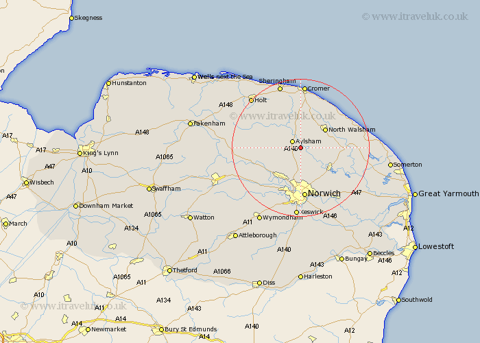
Norfolk Map Showing Location of Brampton
Population: 162
District: Broadland
Easting: 621477 Northing: 323881
Latitude: 52.77 Longitude: 1.28
 = Brampton
District: Broadland
Easting: 621477 Northing: 323881
Latitude: 52.77 Longitude: 1.28
= Brampton
This Brampton map below is supplied by Google. Use the tools in the top left corner to zoom into street level or zoom out for a road map, you may also need to zoom in to see Brampton on the map. Click and drag the map to move around. If the map fails to load try and refresh your browser or zoom in or out (+ or -).
Update - it seems Google no longer allow people to use their maps for free! This Brampton map sometimes loads and sometimes gives a error. I am working on a solution.
Closest 30 Towns or Cities to Brampton (Population over 500)
Hevingham 2.17km Marsham 2.24km Aylsham 2.9km Little Hautbois 3.84km Lamas Little Hautbois 3.84km Lammas 3.84km Felmingham 5km Haynford 5.67km Hainford 5.67km Coltishall 6.73km Horstead 7.15km Erpingham 7.74km Cawston 7.85km North Walsham 8.72km Horsham St Faith 9.27km Horsham Saint Faith 9.27km Horsham St. Faith 9.27km Horsham 9.27km Horsford 9.54km Worstead 10.26km Wroxham 10.8km Rackheath 10.84km Hoveton 10.93km Smallburgh 11.21km Reepham 11.37km Corpusty 11.52km Spixworth 11.62km Witchingham 11.82km Beeston 11.82km Beeston St Lawrence 11.82km