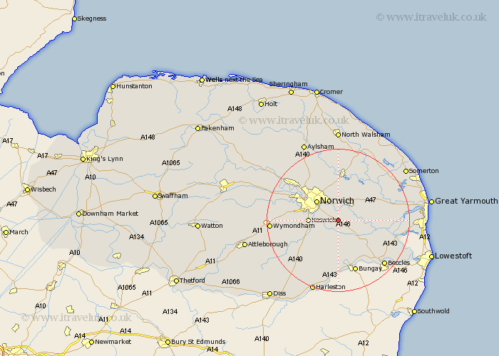
Norfolk Map Showing Location of Bramerton
Population: 350
District: South Norfolk
Easting: 629179 Northing: 303804
Latitude: 52.58 Longitude: 1.38
 = Bramerton
District: South Norfolk
Easting: 629179 Northing: 303804
Latitude: 52.58 Longitude: 1.38
= Bramerton
This Bramerton map below is supplied by Google. Use the tools in the top left corner to zoom into street level or zoom out for a road map, you may also need to zoom in to see Bramerton on the map. Click and drag the map to move around. If the map fails to load try and refresh your browser or zoom in or out (+ or -).
Update - it seems Google no longer allow people to use their maps for free! This Bramerton map sometimes loads and sometimes gives a error. I am working on a solution.
Closest 30 Towns or Cities to Bramerton (Population over 500)
Brooke 3.7km Poringland 4.33km Thurton 5.01km Brundall 5.02km Blofield 5.84km Thorpe next Norwich 6km Thorpe St. Andrew 6km Thorpe Saint Andrew 6km Thorpe St Andrew 6km Thorpe 6km Thorpe Episcopi 6km Stoke Holy Cross 6.74km Great Plumstead 7.5km Lingwood 7.71km Norwich 7.91km Cringleford 9.2km Swardeston 9.2km Cantley 9.2km Loddon 9.31km Saxlingham Thorpe 9.65km Saxlingham 9.65km Chedgrave 9.65km Spixworth 9.87km Hellesdon 10.58km Mulbarton 10.79km Hempnall 10.84km Rackheath 11.18km Freethorpe 11.26km Salhouse 11.35km South Walsham 12.55km