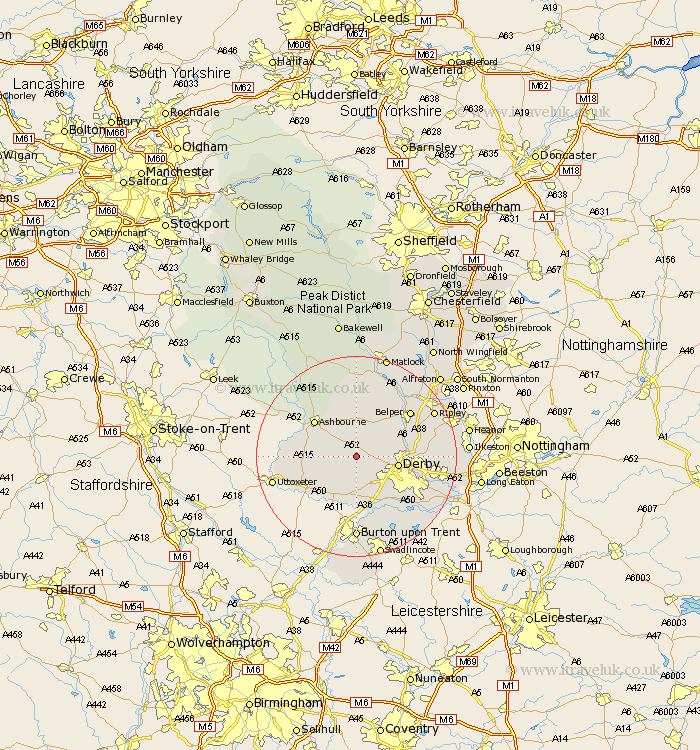
Derbyshire Map Showing Location of Brailsford
Population: 938
District: Derbyshire Dales
Easting: 425752 Northing: 339283
Latitude: 52.95 Longitude: -1.62
 = Brailsford
District: Derbyshire Dales
Easting: 425752 Northing: 339283
Latitude: 52.95 Longitude: -1.62
= Brailsford
This Brailsford map below is supplied by Google. Use the tools in the top left corner to zoom into street level or zoom out for a road map, you may also need to zoom in to see Brailsford on the map. Click and drag the map to move around. If the map fails to load try and refresh your browser or zoom in or out (+ or -).
Update - it seems Google no longer allow people to use their maps for free! This Brailsford map sometimes loads and sometimes gives a error. I am working on a solution.
Closest 30 Towns or Cities to Brailsford (Population over 500)
Brailsford 0km Kirk Langley 3.83km Quarndon 7.82km Derby 8.04km Burnaston 8.14km Duffield 9.12km Church Broughton 9.29km Etwall 9.33km Clifton 10.52km Ashbourne 10.77km Little Eaton 11.17km Breadsall 11.32km Holbrook 11.48km Findern 12.45km Sudbury 12.87km Scropton 12.99km Egginton 13.02km Kilburn 13.48km Kilbourne 13.48km Kilbourn 13.48km Belper 13.66km Willington 13.73km Repton 13.73km Ambergate Junction Station 14.26km Ambergate 14.26km Heage 14.5km Doveridge 14.51km Brassington 14.99km Newton Solney 14.99km Wirksworth 15.19km