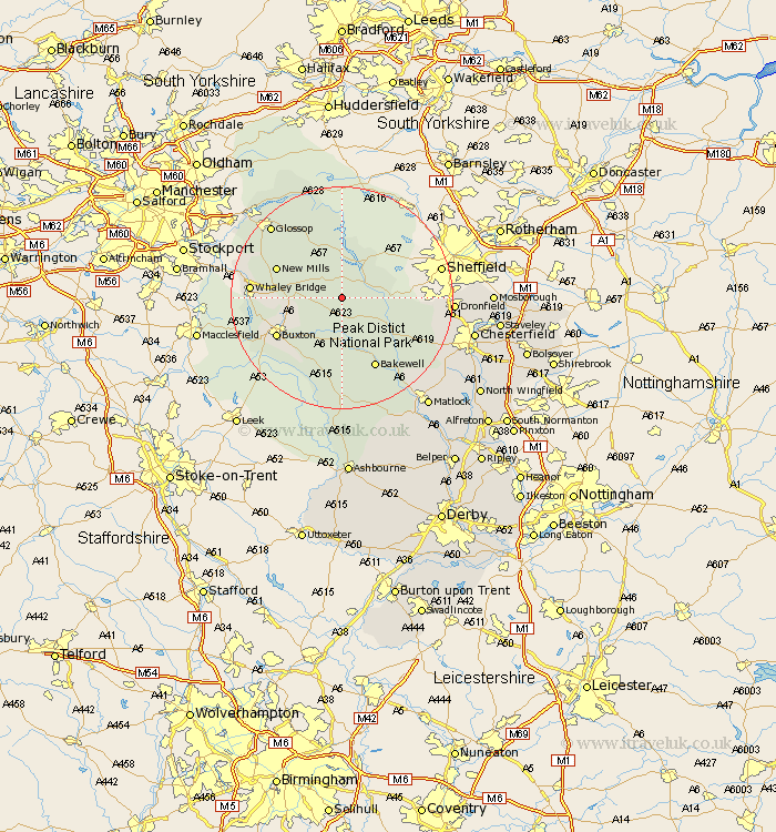
Derbyshire Map Showing Location of Bradwell
Population: 1423
District: Derbyshire Dales
Easting: 416652 Northing: 380033
Latitude: 53.32 Longitude: -1.75
 = Bradwell
District: Derbyshire Dales
Easting: 416652 Northing: 380033
Latitude: 53.32 Longitude: -1.75
= Bradwell
This Bradwell map below is supplied by Google. Use the tools in the top left corner to zoom into street level or zoom out for a road map, you may also need to zoom in to see Bradwell on the map. Click and drag the map to move around. If the map fails to load try and refresh your browser or zoom in or out (+ or -).
Update - it seems Google no longer allow people to use their maps for free! This Bradwell map sometimes loads and sometimes gives a error. I am working on a solution.
Closest 30 Towns or Cities to Bradwell (Population over 500)
Castleton 2.16km Hope 3.7km Tideswell 5.67km Bamford 5.77km Hathersage 6.64km Eyam 6.67km Grindleford Bridge 8.6km Grindleford 8.6km Stoney Middleton 8.67km Stony Middleton 8.67km Great Longstone 9.85km Longstone 9.85km Chapel en le Frith 9.96km New Mills 12.38km Baslow 12.83km Buxton 13.33km Bakewell 14.11km Hayfield 15.2km Whaley Bridge 15.61km Holmesfield 15.94km Middleton 16.83km Youlgreave 17.01km Glossop 17.91km Barlow 18.58km Dronfield 18.92km Old Brampton 19.04km Brampton 19.04km Darley Dale 19.44km Charlesworth 21.05km Unstone 21.37km