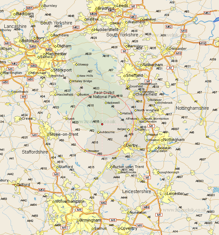
Derbyshire Map Showing Location of Bradbourne
Population: 116
District: Derbyshire Dales
Easting: 420100 Northing: 352237
Latitude: 53.07 Longitude: -1.7
 = Bradbourne
District: Derbyshire Dales
Easting: 420100 Northing: 352237
Latitude: 53.07 Longitude: -1.7
= Bradbourne
This Bradbourne map below is supplied by Google. Use the tools in the top left corner to zoom into street level or zoom out for a road map, you may also need to zoom in to see Bradbourne on the map. Click and drag the map to move around. If the map fails to load try and refresh your browser or zoom in or out (+ or -).
Update - it seems Google no longer allow people to use their maps for free! This Bradbourne map sometimes loads and sometimes gives a error. I am working on a solution.
Closest 30 Towns or Cities to Bradbourne (Population over 500)
Brassington 3.82km Ashbourne 5.99km Winster 8.12km Clifton 8.14km Wirksworth 9.1km Bonsall 9.57km Cromford 9.64km Matlock Bath 10.96km Youlgreave 11.12km Middleton 11.17km Darley Dale 12.97km Matlock 13.37km Brailsford 14.12km Tansley 14.31km Crich 14.59km Ambergate Junction Station 14.6km Ambergate 14.6km Bakewell 14.99km Belper 16.03km Heage 17.12km Holbrook 17.27km Kirk Langley 17.31km South Wingfield 17.91km Wingfield 17.91km Ashover 18.24km Duffield 18.27km Longstone 18.53km Great Longstone 18.53km Quarndon 18.64km Kilbourn 19.31km