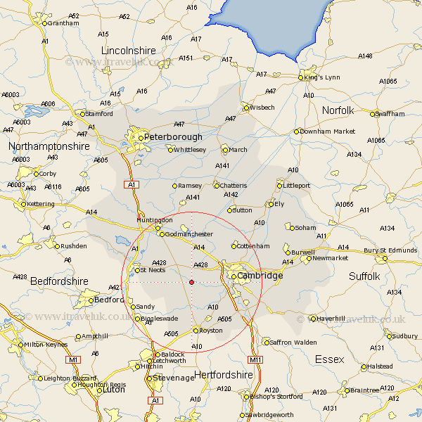
Cambridgeshire Map Showing Location of Bourn
Population: 1764
District: South Cambridgeshire
Easting: 533301 Northing: 255731
Latitude: 52.18 Longitude: -0.05
 = Bourn
District: South Cambridgeshire
Easting: 533301 Northing: 255731
Latitude: 52.18 Longitude: -0.05
= Bourn
This Bourn map below is supplied by Google. Use the tools in the top left corner to zoom into street level or zoom out for a road map, you may also need to zoom in to see Bourn on the map. Click and drag the map to move around. If the map fails to load try and refresh your browser or zoom in or out (+ or -).
Update - it seems Google no longer allow people to use their maps for free! This Bourn map sometimes loads and sometimes gives a error. I am working on a solution.
Closest 30 Towns or Cities to Bourn (Population over 500)
Toft 2.27km Hardwicke 4.91km Hardwick 4.91km Gransden 5.68km Great Gransden 5.68km Comberton 5.68km Orwell 6.01km Needham Market 6.78km Papworth Everard 7.18km Papworth 7.18km Elsworth 7.5km Dry Drayton 7.95km Coton 8.17km Haslingfield 8.8km Barrington 9.34km Gamlingay 9.82km Hilton 9.88km Shepreth 10.07km Meldreth 10.32km Girton 10.65km Harston 10.66km Foxton 10.87km Hauxton 10.88km Cambridge 11.51km Melbourn 12.01km Melborn 12.01km Oakington 12.21km Guilden Morden 12.49km Histon 12.63km Bassingbourn 12.97km