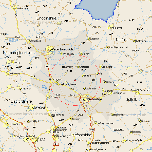
Cambridgeshire Map Showing Location of Bluntisham
Population: 2346
Area Size (ha): 82
District: Huntingdonshire
Easting: 537342 Northing: 274393
Latitude: 52.35 Longitude: 0.02
 = Bluntisham
Area Size (ha): 82
District: Huntingdonshire
Easting: 537342 Northing: 274393
Latitude: 52.35 Longitude: 0.02
= Bluntisham
This Bluntisham map below is supplied by Google. Use the tools in the top left corner to zoom into street level or zoom out for a road map, you may also need to zoom in to see Bluntisham on the map. Click and drag the map to move around. If the map fails to load try and refresh your browser or zoom in or out (+ or -).
Update - it seems Google no longer allow people to use their maps for free! This Bluntisham map sometimes loads and sometimes gives a error. I am working on a solution.
Closest 30 Towns or Cities to Bluntisham (Population over 500)
Earith 0km Bluntisham 0km Colne 1.86km Over 3.7km Somersham 3.87km Needingworth 4.34km Willingham 5.03km Swavesey 5.67km Sutton 6.76km Long Stanton 7.75km Warboys 7.93km Saint Ives 7.94km St. Ives 7.94km St Ives 7.94km Fen Stanton 7.94km West Hemingford 8.75km Hemingford Abbots 8.75km Mepal 8.77km Haddenham 9.06km Wyton 9.25km Wistow 9.68km Hemingford Grey 9.79km Hemingford 9.79km Oakington 9.87km Cottenham 10.06km Wilburton 10.19km Bury 10.85km Chatteris 11.35km Hilton 12.19km Histon 12.48km