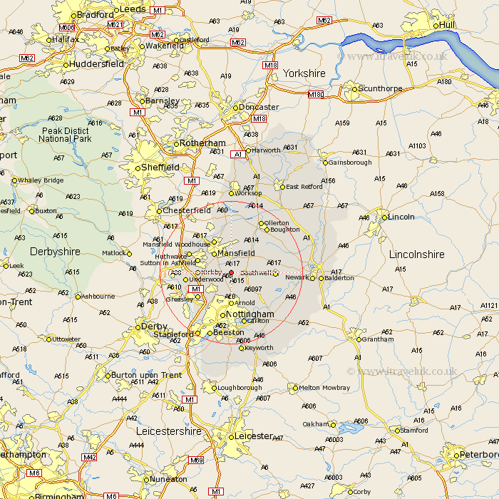
Nottinghamshire Map Showing Location of Blidworth
Population: 4140
Area Size (ha): 108
District: Newark and Sherwood
Easting: 458044 Northing: 354393
Latitude: 53.08 Longitude: -1.13
 = Blidworth
Area Size (ha): 108
District: Newark and Sherwood
Easting: 458044 Northing: 354393
Latitude: 53.08 Longitude: -1.13
= Blidworth
This Blidworth map below is supplied by Google. Use the tools in the top left corner to zoom into street level or zoom out for a road map, you may also need to zoom in to see Blidworth on the map. Click and drag the map to move around. If the map fails to load try and refresh your browser or zoom in or out (+ or -).
Update - it seems Google no longer allow people to use their maps for free! This Blidworth map sometimes loads and sometimes gives a error. I am working on a solution.
Closest 30 Towns or Cities to Blidworth (Population over 500)
Rainworth 3.88km Papplewick 4.99km Oxton 5.79km Newstead 5.87km Calverton 6.49km Claverton 6.49km Farnsfield 6.93km Mansfield 7.12km Annesley 8.63km Woodborough 8.64km Bilsthorpe 8.69km Kirkby 8.91km Kirkby in Ashfield 8.91km Arnold 9.26km Clipstone 9.54km Sutton in Ashfield 9.64km Mansfield Woodhouse 10.28km Southwell 11.58km Greasley 11.59km Edwinstowe 11.98km Lambley 11.98km Pleasley 12.11km Underwood 12.25km Selston 12.39km Huthwaite 12.44km Hucknall under Huthwaite 12.44km Hucknall 12.44km Hucknall-under-Huthwaite 12.44km Burton Joyce 12.97km Warsop 13.02km