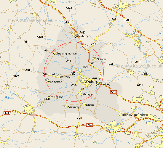
Oxfordshire Map Showing Location of Bladon
Population: 753
District: West Oxfordshire
Easting: 444800 Northing: 213368
Latitude: 51.82 Longitude: -1.35
 = Bladon
District: West Oxfordshire
Easting: 444800 Northing: 213368
Latitude: 51.82 Longitude: -1.35
= Bladon
This Bladon map below is supplied by Google. Use the tools in the top left corner to zoom into street level or zoom out for a road map, you may also need to zoom in to see Bladon on the map. Click and drag the map to move around. If the map fails to load try and refresh your browser or zoom in or out (+ or -).
Update - it seems Google no longer allow people to use their maps for free! This Bladon map sometimes loads and sometimes gives a error. I am working on a solution.
Closest 30 Towns or Cities to Bladon (Population over 500)
Bladon 0km Hanborough 2.95km Church Handborough 2.95km Cassington 3.71km Yarnton 3.91km Woodstock 4.35km Kidlington 4.58km Tackley 6.01km Eynsham 6.01km Ensham 6.01km Stonesfield 6.02km North Leigh 6.02km Bletchingdon 6.82km Kirtlington 7.98km Islip 8.02km Hailey 9.35km Charlbury 9.75km Stanton Harcourt 9.89km Witney 9.89km Oxford 10.11km North Hinksey 10.35km Cumnor 11.18km Steeple Aston 11.64km Ducklington 11.8km Standlake 12.03km Beckley 12.05km Leafield 12.6km Minster Lovell 12.74km Duns Tew 13.02km Enstone 13.07km