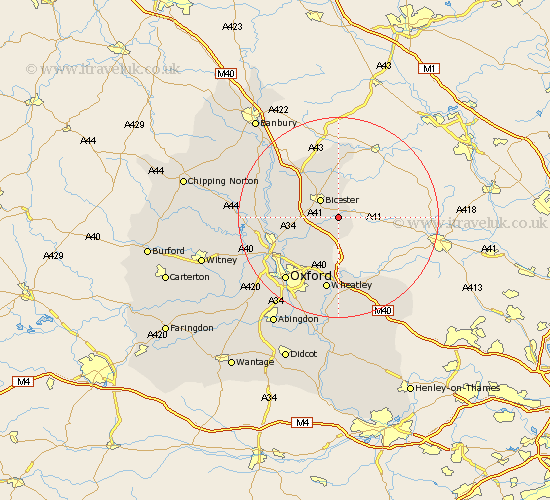
Oxfordshire Map Showing Location of Blackthorn
Population: 267
District: Cherwell
Easting: 461962 Northing: 219111
Latitude: 51.87 Longitude: -1.1
 = Blackthorn
District: Cherwell
Easting: 461962 Northing: 219111
Latitude: 51.87 Longitude: -1.1
= Blackthorn
This Blackthorn map below is supplied by Google. Use the tools in the top left corner to zoom into street level or zoom out for a road map, you may also need to zoom in to see Blackthorn on the map. Click and drag the map to move around. If the map fails to load try and refresh your browser or zoom in or out (+ or -).
Update - it seems Google no longer allow people to use their maps for free! This Blackthorn map sometimes loads and sometimes gives a error. I am working on a solution.
Closest 30 Towns or Cities to Blackthorn (Population over 500)
Launton 2.17km Ambrosden 2.18km Bicester 5.05km Chesterton 6.01km Caversfield 8.71km Fringford 9.33km Islip 10.72km Beckley 10.9km Ardley 10.91km Kirtlington 11.44km Bletchingdon 11.6km Fritwell 13.02km Upper Heyford 13.63km Kidlington 13.77km Steeple Aston 14.81km Tackley 14.88km Woodstock 15km Wheatley 15.01km Tiddington 15.01km Thame 15.26km Yarnton 15.62km Oxford 16.57km Milton 16.72km Great Milton 16.72km Cuddesdon 16.84km Duns Tew 17.64km Bladon 18.05km Littlemore 18.51km Great Haseley 18.68km Garsington 18.85km