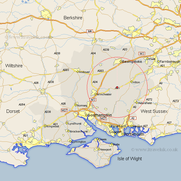
Hampshire Map Showing Location of Bighton
Population: 319
District: Winchester
Easting: 461843 Northing: 133840
Latitude: 51.1 Longitude: -1.12
 = Bighton
District: Winchester
Easting: 461843 Northing: 133840
Latitude: 51.1 Longitude: -1.12
= Bighton
This Bighton map below is supplied by Google. Use the tools in the top left corner to zoom into street level or zoom out for a road map, you may also need to zoom in to see Bighton on the map. Click and drag the map to move around. If the map fails to load try and refresh your browser or zoom in or out (+ or -).
Update - it seems Google no longer allow people to use their maps for free! This Bighton map sometimes loads and sometimes gives a error. I am working on a solution.
Closest 30 Towns or Cities to Bighton (Population over 500)
Medstead 3.95km New Alresford 3.96km Ropley 4.37km Four Marks 5.01km Cheriton 6.57km Bramdean 7.42km Upper Farringdon 9.31km Faringdon 9.31km Farringdon 9.31km West Meon 9.55km Alton 10.02km Micheldever 11.11km Dummer 11.36km North Waltham 12.05km Froxfield 12.34km Selborne 12.94km Kings Worthy 12.94km East Meon 14.22km Winchester 14.78km Corhampton 14.87km Wonston 15.02km Owslebury 15.28km Upton Grey 15.32km Froyle 15.8km Steep 15.81km Greatham 16.13km Droxford 16.72km Twyford 16.77km Liss 16.86km Upham 16.92km