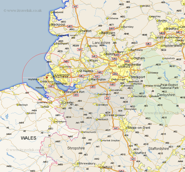
Cheshire Map Showing Location of Bidston
District: Wirral
Easting: 327979 Northing: 389817
Latitude: 53.4 Longitude: -3.08
 = Bidston
Easting: 327979 Northing: 389817
Latitude: 53.4 Longitude: -3.08
= Bidston
This Bidston map below is supplied by Google. Use the tools in the top left corner to zoom into street level or zoom out for a road map, you may also need to zoom in to see Bidston on the map. Click and drag the map to move around. If the map fails to load try and refresh your browser or zoom in or out (+ or -).
Update - it seems Google no longer allow people to use their maps for free! This Bidston map sometimes loads and sometimes gives a error. I am working on a solution.
Closest 30 Towns or Cities to Bidston (Population over 500)
Moreton 2.21km Birkenhead 3.31km Wallasey 3.86km Greasby 4.87km Kirby 5.77km West Kirby 5.77km Hoylake 6.89km Bebington 7.1km Bebington and Bromborough 7.1km Heswall 9.33km Neston 13.16km Willaston 14.11km Ellesmere Port 17.79km Hale 20.21km Mollington 21.59km Saughall 22.22km Great Saughall 22.22km Runcorn 23.33km Widnes 23.87km Elton 24.33km Chester 24.84km Weston 25km Dunham 25.14km Dunham on the Hill 25.14km Dunham-on-the-Hill 25.14km Helsby 25.73km Frodsham 25.75km Mickle Trafford 27.01km Halton 27.07km Burtonwood 27.86km