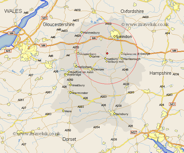
Wiltshire Map Showing Location of Berwick Bassett
Population: 56
District: Kennet
Easting: 410422 Northing: 172400
Latitude: 51.45 Longitude: -1.85
 = Berwick Bassett
District: Kennet
Easting: 410422 Northing: 172400
Latitude: 51.45 Longitude: -1.85
= Berwick Bassett
This Berwick Bassett map below is supplied by Google. Use the tools in the top left corner to zoom into street level or zoom out for a road map, you may also need to zoom in to see Berwick Bassett on the map. Click and drag the map to move around. If the map fails to load try and refresh your browser or zoom in or out (+ or -).
Update - it seems Google no longer allow people to use their maps for free! This Berwick Bassett map sometimes loads and sometimes gives a error. I am working on a solution.
Closest 30 Towns or Cities to Berwick Bassett (Population over 500)
Broad Town 3.88km Broad Hinton 3.88km Cherhill 7.86km Hillmarton 8.29km Hilmarton 8.29km Wroughton 8.74km Wooton Bassett 9.89km Wootton Bassett 9.89km Marlborough 9.96km Calne 10.56km Chiseldon 10.78km Lyneham 10.96km Bishops Cannings 11.57km Bremhill 12.7km Swindon 12.73km Lydiard Millicent 13.03km Roundway 13.09km Wanborough 13.92km Brinkworth 14.45km Devizes 14.46km Pewsey 14.72km Purton 14.87km Christian Malford 14.93km Aldbourne 16.27km Stratton Saint Margaret 16.36km Stratton 16.36km Stratton St. Margaret 16.36km Stratton St Margaret 16.36km Rowde 16.89km Blunsdon St. Andrew 17.03km