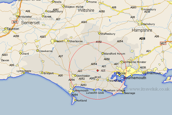
Dorset Map Showing Location of Bere Regis
Population: 1765
Area Size (ha): 32
District: Purbeck
Easting: 384716 Northing: 94574
Latitude: 50.75 Longitude: -2.22
 = Bere Regis
Area Size (ha): 32
District: Purbeck
Easting: 384716 Northing: 94574
Latitude: 50.75 Longitude: -2.22
= Bere Regis
This Bere Regis map below is supplied by Google. Use the tools in the top left corner to zoom into street level or zoom out for a road map, you may also need to zoom in to see Bere Regis on the map. Click and drag the map to move around. If the map fails to load try and refresh your browser or zoom in or out (+ or -).
Update - it seems Google no longer allow people to use their maps for free! This Bere Regis map sometimes loads and sometimes gives a error. I am working on a solution.
Closest 30 Towns or Cities to Bere Regis (Population over 500)
Winterborne Kingston 2.2km Milborne St Andrew 5.04km Milborne 5.04km Milborne St. Andrew 5.04km Milborne Saint Andrew 5.04km Whitechurch 5.68km Bovington Camp 6.03km Wool 7.04km Milton Abbas 7.27km Stickland Winterborne 9.34km Winterborne Stickland 9.34km Puddletown 9.38km Piddletown 9.38km Holton Heath Station 10.09km Holton Heath 10.09km Spetisbury 10.22km Wareham 10.23km Lytchett Matravers 10.55km Sturminster Marshall 11.18km Winfrith Newburgh 11.66km Winfrith 11.66km Corfe Mullen 13.41km Blandford Forum 13.44km Blandford 13.44km Broadmayne 13.88km Arne 14.05km Puddletrenthide 14.54km Piddletrenthide 14.54km Stourpaine 14.87km Lulworth Cove 15.01km