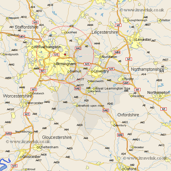
Warwickshire Map Showing Location of Erdington
District: Birmingham
Easting: 412434 Northing: 292882
Latitude: 52.53 Longitude: -1.82
 = Erdington
Easting: 412434 Northing: 292882
Latitude: 52.53 Longitude: -1.82
= Erdington
This Erdington map below is supplied by Google. Use the tools in the top left corner to zoom into street level or zoom out for a road map, you may also need to zoom in to see Erdington on the map. Click and drag the map to move around. If the map fails to load try and refresh your browser or zoom in or out (+ or -).
Update - it seems Google no longer allow people to use their maps for free! This Erdington map sometimes loads and sometimes gives a error. I am working on a solution.
Closest 30 Towns or Cities to Erdington (Population over 500)
Sutton Coldfield 3.71km Castle Bromwich 4.34km Water Orton 6.75km Middleton 7.91km Coleshill 8.72km Kingsbury 9.21km Birmingham 10.03km Nether Whitacre 11.27km Bickenhill 11.47km Hurley 12.54km Shustoke 12.95km Solihull 13.16km Hampton in Arden 15.18km Dordon 16.18km Arley 16.22km Polesworth 16.41km Fillongley 17.45km Shuttington 17.5km Meriden 17.52km Knowle 17.61km Atherstone 18.41km Grendon 18.45km Berkeswell 19.34km Berkswell 19.34km Corley 20.29km Newton 20.42km Newton Regis 20.42km Temple Balsall 20.61km Mancetter 20.62km Orton on the Hill 21.27km