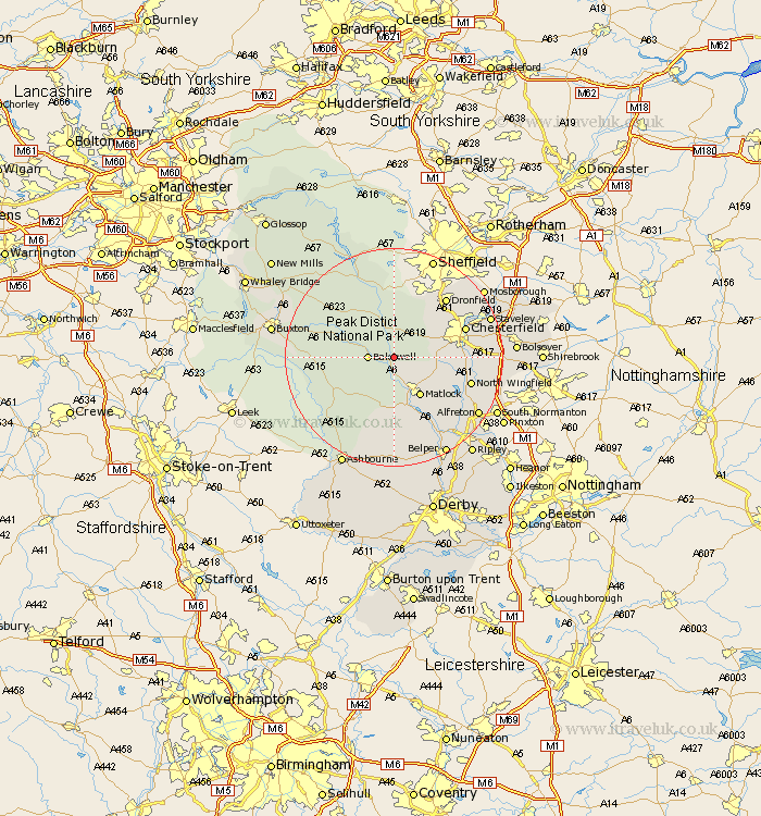
Derbyshire Map Showing Location of Beeley
Population: 165
District: Derbyshire Dales
Easting: 426717 Northing: 367097
Latitude: 53.2 Longitude: -1.6
 = Beeley
District: Derbyshire Dales
Easting: 426717 Northing: 367097
Latitude: 53.2 Longitude: -1.6
= Beeley
This Beeley map below is supplied by Google. Use the tools in the top left corner to zoom into street level or zoom out for a road map, you may also need to zoom in to see Beeley on the map. Click and drag the map to move around. If the map fails to load try and refresh your browser or zoom in or out (+ or -).
Update - it seems Google no longer allow people to use their maps for free! This Beeley map sometimes loads and sometimes gives a error. I am working on a solution.
Closest 30 Towns or Cities to Beeley (Population over 500)
Darley Dale 3.7km Baslow 3.87km Bakewell 4.44km Old Brampton 7.62km Brampton 7.62km Great Longstone 7.62km Longstone 7.62km Youlgreave 7.62km Stoney Middleton 8.13km Stony Middleton 8.13km Winster 8.13km Ashover 8.61km Middleton 8.61km Matlock 8.65km Walton 9.07km Tansley 9.27km Bonsall 9.33km Grindleford 9.52km Grindleford Bridge 9.52km Eyam 10.27km Matlock Bath 10.61km Barlow 10.74km Holmesfield 10.8km Wingerworth 11.1km Cromford 11.34km Wirksworth 13.17km Tideswell 13.34km Hathersage 13.4km Brassington 13.4km Chesterfield 13.41km