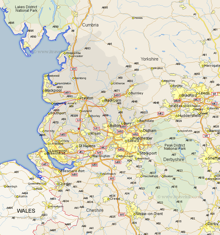
Lancashire Map Showing Location of Appley Bridge
Population: 5664
Area Size (ha): 124
District: West Lancashire
Easting: 352541 Northing: 408053
Latitude: 53.57 Longitude: -2.72
 = Appley Bridge
Area Size (ha): 124
District: West Lancashire
Easting: 352541 Northing: 408053
Latitude: 53.57 Longitude: -2.72
= Appley Bridge
This Appley Bridge map below is supplied by Google. Use the tools in the top left corner to zoom into street level or zoom out for a road map, you may also need to zoom in to see Appley Bridge on the map. Click and drag the map to move around. If the map fails to load try and refresh your browser or zoom in or out (+ or -).
Update - it seems Google no longer allow people to use their maps for free! This Appley Bridge map sometimes loads and sometimes gives a error. I am working on a solution.
Closest 30 Towns or Cities to Appley Bridge (Population over 500)
Shevington 2.2km Standish 3.78km Parbold 3.78km Mawdesley 6.47km Lathom 6.6km Skelmersdale 6.64km Coppull 7.09km Eccleston 7.41km Billinge 7.5km Ince 7.58km Ince-in-Makerfield 7.58km Wigan 7.58km Rainford 7.83km Burscough 7.92km Adlington 8.55km Blackrod 9km Penrith 9.33km Rufford 9.5km Bickerstaffe 9.5km Haigh 9.55km Hindley 9.56km Euxton 9.83km Croston 9.83km Ashton 10.26km Ashton in Makerfield 10.26km Abram 10.42km Chorley 11.37km Haydock 11.6km Horwich 11.61km Ormskirk 12.11km