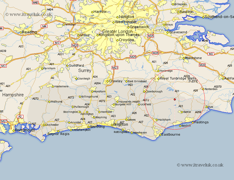
Sussex Map Showing Location of Etchingham
Population: 766
District: Rother
Easting: 570718 Northing: 125168
Latitude: 51 Longitude: 0.43
 = Etchingham
District: Rother
Easting: 570718 Northing: 125168
Latitude: 51 Longitude: 0.43
= Etchingham
This Etchingham map below is supplied by Google. Use the tools in the top left corner to zoom into street level or zoom out for a road map, you may also need to zoom in to see Etchingham on the map. Click and drag the map to move around. If the map fails to load try and refresh your browser or zoom in or out (+ or -).
Update - it seems Google no longer allow people to use their maps for free! This Etchingham map sometimes loads and sometimes gives a error. I am working on a solution.
Closest 30 Towns or Cities to Etchingham (Population over 500)
Hurst Green 2.33km Robertsbridge 2.98km Burwash 3.5km Ticehurst 3.88km Mountfield 7.78km Wadhurst 8.93km Battle 10.37km Sedlescombe 11.61km Northiam 11.81km Mayfield 12.83km Warbleton 12.86km Heathfield 12.93km Catsfield 13.03km Beckley 14.48km Westfield 14.52km Hurstmonceaux 14.75km Herstmonceux 14.75km Hurstmonceux 14.75km Ninfield 14.87km Frant 14.88km Brede 14.9km Crowhurst 15.54km Rotherfield 15.6km Horam 15.83km Horeham 15.83km Hadlow Down 17.59km Peasmarsh 17.89km Hailsham 18.87km Fairlight 19.1km Guestling 19.1km