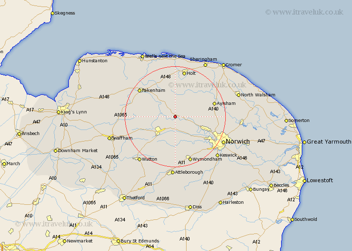
Norfolk Map Showing Location of Bawdeswell
Population: 766
District: Breckland
Easting: 604774 Northing: 319426
Latitude: 52.73 Longitude: 1.03
 = Bawdeswell
District: Breckland
Easting: 604774 Northing: 319426
Latitude: 52.73 Longitude: 1.03
= Bawdeswell
This Bawdeswell map below is supplied by Google. Use the tools in the top left corner to zoom into street level or zoom out for a road map, you may also need to zoom in to see Bawdeswell on the map. Click and drag the map to move around. If the map fails to load try and refresh your browser or zoom in or out (+ or -).
Update - it seems Google no longer allow people to use their maps for free! This Bawdeswell map sometimes loads and sometimes gives a error. I am working on a solution.
Closest 30 Towns or Cities to Bawdeswell (Population over 500)
Lyng 2.91km North Elmham 5.61km Witchingham 5.61km Foulsham 5.67km Foulham 5.67km Reepham 5.91km Hockering 7.74km Beetley 8.07km East Dereham 8.73km Dereham 8.73km Mattishall 9.26km Hindolveston 9.34km Cawston 9.71km Yaxham 10.29km Corpusty 11.46km Ryburgh 12.15km Great Ryburgh 12.15km Mileham 12.34km Taverham 12.53km Mellon Constable 12.98km Melton Constable 12.98km Briston 13.17km Colkirk 14.39km Drayton 14.4km Marsham 15.05km Costessey 15.44km Aylsham 15.6km Horsford 15.62km Little Snoring 15.77km Shipdham 15.78km