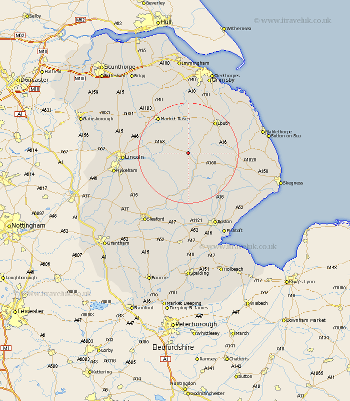
Lincolnshire Map Showing Location of Baumber
Population: 168
District: East Lindsey
Easting: 522306 Northing: 374153
Latitude: 53.25 Longitude: -0.17
 = Baumber
District: East Lindsey
Easting: 522306 Northing: 374153
Latitude: 53.25 Longitude: -0.17
= Baumber
This Baumber map below is supplied by Google. Use the tools in the top left corner to zoom into street level or zoom out for a road map, you may also need to zoom in to see Baumber on the map. Click and drag the map to move around. If the map fails to load try and refresh your browser or zoom in or out (+ or -).
Update - it seems Google no longer allow people to use their maps for free! This Baumber map sometimes loads and sometimes gives a error. I am working on a solution.
Closest 30 Towns or Cities to Baumber (Population over 500)
Horncastle 6.48km Banovallum 6.48km Wragby 9.61km Mareham 9.97km Mareham-on-the-Hill 9.97km Mareham on the Hill 9.97km Bardney 10.65km Woodhall Spa 11.61km Holton 12.4km Coningsby 14.82km Louth 16.36km Tattershall 16.83km Legbourne 17.12km Cherry Willingham 17.39km Fiskerton 17.84km Reepham 17.84km Potter Hanworth 18.22km Market Rasen 18.5km Martin 18.52km Sudbrooke 18.94km Nocton 19.05km Dunston 19.11km Scothern 19.2km Spilsby 19.24km Middle Rasen 19.9km Carrington 20.1km Billinghay 20.1km Metheringham 20.25km Washingborough 20.31km binbrook 20.41km