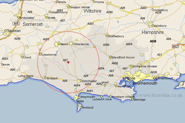
Dorset Map Showing Location of Batcombe
Population: 104
District: West Dorset
Easting: 361272 Northing: 103958
Latitude: 50.83 Longitude: -2.55
 = Batcombe
District: West Dorset
Easting: 361272 Northing: 103958
Latitude: 50.83 Longitude: -2.55
= Batcombe
This Batcombe map below is supplied by Google. Use the tools in the top left corner to zoom into street level or zoom out for a road map, you may also need to zoom in to see Batcombe on the map. Click and drag the map to move around. If the map fails to load try and refresh your browser or zoom in or out (+ or -).
Update - it seems Google no longer allow people to use their maps for free! This Batcombe map sometimes loads and sometimes gives a error. I am working on a solution.
Closest 30 Towns or Cities to Batcombe (Population over 500)
Leigh 3.71km Cerne Abbas 6.93km Buckland Newton 7.02km Maiden Newton 7.5km Yetminster 7.51km Bradford Abbas 9.56km Piddletrenthide 10.89km Puddletrenthide 10.89km Charminster 13.16km Sherbourne 13.44km Sherborne 13.44km Beaminster 14.53km Netherbury 15.11km Mosterton 15.33km Dorchester 15.34km Loders 16.15km Piddletown 16.84km Puddletown 16.84km Bradpole 17.02km Broadwindsor 17.66km Broadwinsor 17.66km Stalbridge 18.27km Bridport 18.3km Portisham 18.56km Portesham 18.56km Abbotsbury 18.86km Burton Bradstock 18.9km Milton Abbas 19.1km Milborne St Andrew 20.15km Milborne 20.15km