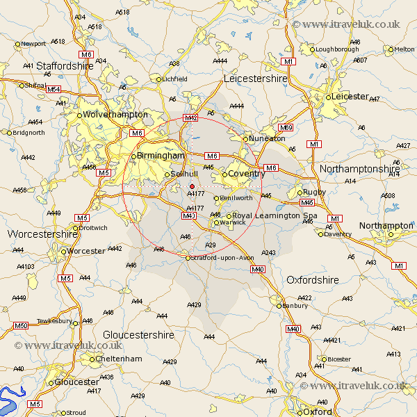
Warwickshire Map Showing Location of Barston
Population: 499
District: Solihull
Easting: 421551 Northing: 276230
Latitude: 52.38 Longitude: -1.68
 = Barston
District: Solihull
Easting: 421551 Northing: 276230
Latitude: 52.38 Longitude: -1.68
= Barston
This Barston map below is supplied by Google. Use the tools in the top left corner to zoom into street level or zoom out for a road map, you may also need to zoom in to see Barston on the map. Click and drag the map to move around. If the map fails to load try and refresh your browser or zoom in or out (+ or -).
Update - it seems Google no longer allow people to use their maps for free! This Barston map sometimes loads and sometimes gives a error. I am working on a solution.
Closest 30 Towns or Cities to Barston (Population over 500)
Temple Balsall 1.85km Knowle 3.39km Berkswell 3.87km Berkeswell 3.87km Hampton in Arden 3.88km Meriden 7.17km Lapworth 7.17km Rowington 7.49km Kenilworth 7.73km Solihull 7.73km Bickenhill 7.75km Shrewley 9.33km Hatton 9.54km Allesley 9.78km Coventry 9.78km Fillongley 11.49km Keresley 11.59km Corley 11.69km Stoneleigh 11.91km Henley in Arden 12.48km Ullenhall 12.96km Claverdon 13.01km Coleshill 13.03km Warwick 13.03km Shustoke 13.41km Water Orton 13.41km Baginton 13.7km Leamington 13.77km Royal Leamington Spa 13.77km Leamington Spa 13.77km