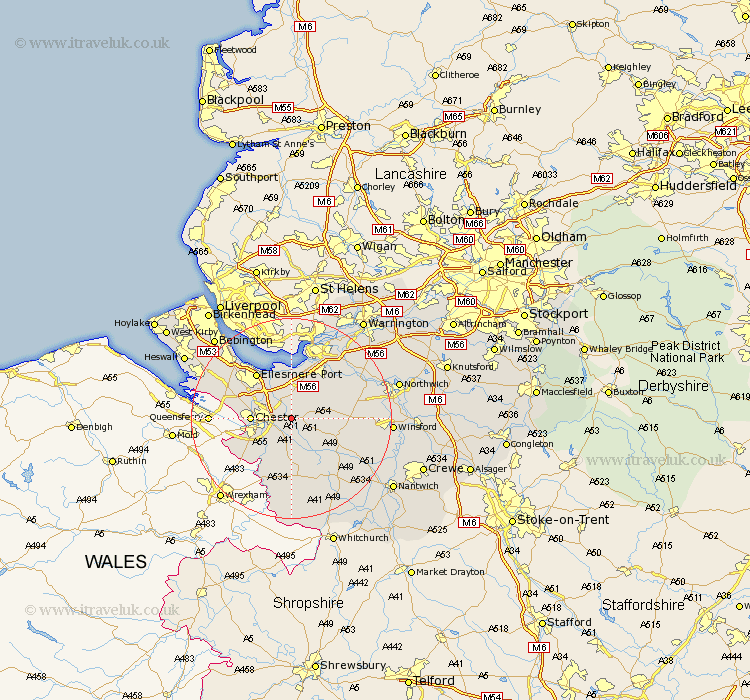
Cheshire Map Showing Location of Barrow
Population: 943
District: Chester
Easting: 346565 Northing: 367321
Latitude: 53.2 Longitude: -2.8
 = Barrow
District: Chester
Easting: 346565 Northing: 367321
Latitude: 53.2 Longitude: -2.8
= Barrow
This Barrow map below is supplied by Google. Use the tools in the top left corner to zoom into street level or zoom out for a road map, you may also need to zoom in to see Barrow on the map. Click and drag the map to move around. If the map fails to load try and refresh your browser or zoom in or out (+ or -).
Update - it seems Google no longer allow people to use their maps for free! This Barrow map sometimes loads and sometimes gives a error. I am working on a solution.
Closest 30 Towns or Cities to Barrow (Population over 500)
Great Barrow 0km Barrow 0km Mickle Trafford 2.16km Tarvin 2.22km Christleton 2.89km Waverton 3.7km Ashton 4.81km Dunham-on-the-Hill 5.56km Dunham on the Hill 5.56km Dunham 5.56km Elton 5.67km Helsby 7.74km Chester 7.77km Kelshall Hill 7.99km Kelsall Hill 7.99km Kelsall 7.99km Mollington 8.61km Delamere 9.07km Tattenhall 9.53km Saughall 10.16km Great Saughall 10.16km Tarporley 10.48km Ellesmere Port 11.4km Kingsley 11.57km Frodsham 11.97km Dodleston 12.45km Harthill 13.4km Little Budworth 13.45km Bunbury 13.63km Weston 13.71km