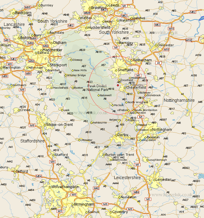
Derbyshire Map Showing Location of Barlow
Population: 884
District: North East Derbyshire
Easting: 434456 Northing: 374567
Latitude: 53.27 Longitude: -1.48
 = Barlow
District: North East Derbyshire
Easting: 434456 Northing: 374567
Latitude: 53.27 Longitude: -1.48
= Barlow
This Barlow map below is supplied by Google. Use the tools in the top left corner to zoom into street level or zoom out for a road map, you may also need to zoom in to see Barlow on the map. Click and drag the map to move around. If the map fails to load try and refresh your browser or zoom in or out (+ or -).
Update - it seems Google no longer allow people to use their maps for free! This Barlow map sometimes loads and sometimes gives a error. I am working on a solution.
Closest 30 Towns or Cities to Barlow (Population over 500)
Holmesfield 2.88km Unstone 3.8km Dronfield 3.86km Old Brampton 3.88km Brampton 3.88km Chesterfield 4.81km Walton 5.67km Brimington 5.85km Wingerworth 8.13km Eckington 8.59km Staveley 8.87km Mosbrough 9.54km Mosborough 9.54km Baslow 9.62km Grindleford Bridge 10.14km Grindleford 10.14km Stony Middleton 11.08km Stoney Middleton 11.08km Ashover 11.12km Eyam 12.33km Killamarsh 12.39km Hathersage 12.39km Heath 12.44km Barlborough 13.43km Darley Dale 13.56km Clay Cross 13.71km North Wingfield 13.73km Bakewell 14.28km Bolsover 14.42km Longstone 14.89km