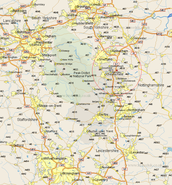
Derbyshire Map Showing Location of Barlborough
Population: 3018
District: Bolsover
Easting: 447775 Northing: 376528
Latitude: 53.28 Longitude: -1.28
 = Barlborough
District: Bolsover
Easting: 447775 Northing: 376528
Latitude: 53.28 Longitude: -1.28
= Barlborough
This Barlborough map below is supplied by Google. Use the tools in the top left corner to zoom into street level or zoom out for a road map, you may also need to zoom in to see Barlborough on the map. Click and drag the map to move around. If the map fails to load try and refresh your browser or zoom in or out (+ or -).
Update - it seems Google no longer allow people to use their maps for free! This Barlborough map sometimes loads and sometimes gives a error. I am working on a solution.
Closest 30 Towns or Cities to Barlborough (Population over 500)
Clowne 2.88km Elmton 4.32km Killamarsh 4.33km Whitwell 4.43km Staveley 4.8km Cresswell 5.78km Creswell 5.78km Eckington 5.84km Mosbrough 6.67km Mosborough 6.67km Bolsover 7.41km Brimington 8.6km Chesterfield 9.61km Heath 9.84km Unstone 9.97km Shirebrook 10.27km Ault Hucknall 11.17km Dronfield 12.33km Barlow 13.43km Wingerworth 13.62km Walton 14.27km Brampton 15.45km Old Brampton 15.45km Holmesfield 15.51km Pilsley 15.83km North Wingfield 16.46km Tibshelf 17.01km Clay Cross 17.28km Morton 17.96km Ashover 18.58km