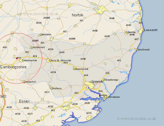
Suffolk Map Showing Location of Exning
Population: 1887
Area Size (ha): 60
District: Forest Heath
Easting: 560341 Northing: 265816
Latitude: 52.27 Longitude: 0.35
 = Exning
Area Size (ha): 60
District: Forest Heath
Easting: 560341 Northing: 265816
Latitude: 52.27 Longitude: 0.35
= Exning
This Exning map below is supplied by Google. Use the tools in the top left corner to zoom into street level or zoom out for a road map, you may also need to zoom in to see Exning on the map. Click and drag the map to move around. If the map fails to load try and refresh your browser or zoom in or out (+ or -).
Update - it seems Google no longer allow people to use their maps for free! This Exning map sometimes loads and sometimes gives a error. I am working on a solution.
Closest 30 Towns or Cities to Exning (Population over 500)
Newmarket 4.9km Moulton 9.26km Gazeley 11.5km Mildenhall 14.64km Barrow 16.31km Eriswell 16.7km Thurlow 17.29km Risby 19.28km Chevington 19.62km Wickhambrook 19.66km Chedburgh 20.39km Haverhill 21.17km Kedington 22.33km Hundon 23.01km Lakenheath 23.66km Lake Heath 23.66km Fornham All Saints 23.82km Bury St. Edmunds 25.03km Bury Saint Edmunds 25.03km Bury St Edmunds 25.03km Clare 25.87km Brandon 27.26km Cavendish 28.09km Barnham 28.33km Great Barton 28.35km Glemsford 28.46km Rushbrooke 28.91km Lawshall 29.17km Troston 29.99km Honington 31.48km