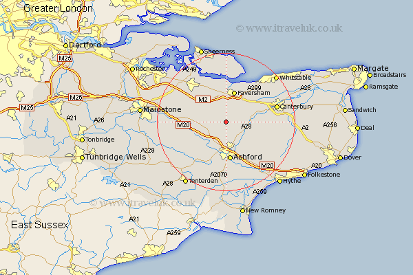
Kent Map Showing Location of Badlesmere
Population: 111
District: Swale
Easting: 600105 Northing: 152196
Latitude: 51.23 Longitude: 0.87
 = Badlesmere
District: Swale
Easting: 600105 Northing: 152196
Latitude: 51.23 Longitude: 0.87
= Badlesmere
This Badlesmere map below is supplied by Google. Use the tools in the top left corner to zoom into street level or zoom out for a road map, you may also need to zoom in to see Badlesmere on the map. Click and drag the map to move around. If the map fails to load try and refresh your browser or zoom in or out (+ or -).
Update - it seems Google no longer allow people to use their maps for free! This Badlesmere map sometimes loads and sometimes gives a error. I am working on a solution.
Closest 30 Towns or Cities to Badlesmere (Population over 500)
Selling 5.09km Charing 5.94km Chilham 6.96km Wye 7.24km Ospringe 7.42km Doddington 7.89km Kennington 9.33km Oare 9.35km Linsted 9.42km Lynsted 9.42km Faversham 9.56km Dunkirk 9.84km Pluckley 9.85km Hothfield 9.9km Lenham 10.44km Chartham 10.61km Egerton 10.83km Ashford 11.18km Bapchild 11.59km Teynham 11.65km Hinxhill 12.05km Harrietsham 12.77km Harbledown 12.86km Petham 12.9km Bredgar 13.77km Sittingbourne 13.77km Lower Hardres 13.92km Tunstall 13.96km Brabourne 14.49km Smeeth 14.72km