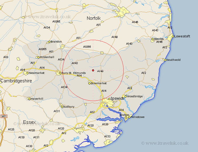
Suffolk Map Showing Location of Bacton
Population: 1227
District: Mid Suffolk
Easting: 605819 Northing: 267501
Latitude: 52.27 Longitude: 1.02
 = Bacton
District: Mid Suffolk
Easting: 605819 Northing: 267501
Latitude: 52.27 Longitude: 1.02
= Bacton
This Bacton map below is supplied by Google. Use the tools in the top left corner to zoom into street level or zoom out for a road map, you may also need to zoom in to see Bacton on the map. Click and drag the map to move around. If the map fails to load try and refresh your browser or zoom in or out (+ or -).
Update - it seems Google no longer allow people to use their maps for free! This Bacton map sometimes loads and sometimes gives a error. I am working on a solution.
Closest 30 Towns or Cities to Bacton (Population over 500)
Mendlesham 3.88km Gislingham 4.34km Old Newton 5.56km Haughley 6.01km Badwell Ash 7.05km Botesdale 7.41km Elmswell 7.76km Thorndon 8.15km Wortham 9.54km Stowmarket 9.55km Stanton 9.69km Woolpit 9.7km Hepworth 10.05km Norton 10.38km Eye 10.64km Redgrave 11.18km Barningham 12.2km Pakenham 12.48km Hopton 12.48km Finborough 12.48km Great Finborough 12.48km Bardwell 12.63km Debenham 12.64km Rattlesden 12.98km Ixworth 13.01km Thurston 13.74km Ringshall 15.01km Hoxne 15.53km Worlingworth 15.88km Coddenham 16.32km