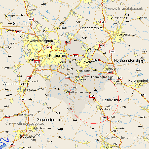
Warwickshire Map Showing Location of Avon Dassett
Population: 210
District: Stratford-on-Avon
Easting: 441063 Northing: 248548
Latitude: 52.13 Longitude: -1.4
 = Avon Dassett
District: Stratford-on-Avon
Easting: 441063 Northing: 248548
Latitude: 52.13 Longitude: -1.4
= Avon Dassett
This Avon Dassett map below is supplied by Google. Use the tools in the top left corner to zoom into street level or zoom out for a road map, you may also need to zoom in to see Avon Dassett on the map. Click and drag the map to move around. If the map fails to load try and refresh your browser or zoom in or out (+ or -).
Update - it seems Google no longer allow people to use their maps for free! This Avon Dassett map sometimes loads and sometimes gives a error. I am working on a solution.
Closest 30 Towns or Cities to Avon Dassett (Population over 500)
Fenny Compton 2.18km Kineton 7.07km Bishops Itchington 7.76km Lighthorne 8.8km Church Tysoe 8.81km Middle Tysoe 8.81km Tysoe 8.81km Priors Marston 10.88km Harbury 11.63km Napton-on-the-Hill 12.49km Napton 12.49km Napton on the Hill 12.49km Southam 13.03km Ettington 13.65km Eatington 13.65km Wellesbourne Hastings 13.69km Wellesbourne 13.69km Bishops Tachbrook 14.36km Lower Brailes 14.38km Brailes 14.38km Long Itchington 14.88km Whitnash 15.22km Stockton 15.22km Shipston-on-Stour 17.46km Shipston on Stour 17.46km Barford 17.59km Ilmington 20.13km Royal Leamington Spa 20.64km Leamington 20.64km Leamington Spa 20.64km