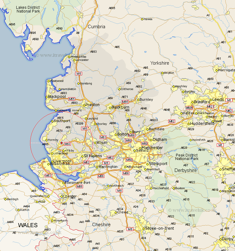
Lancashire Map Showing Location of Aughton
Population: 8342
District: West Lancashire
Easting: 339249 Northing: 404489
Latitude: 53.53 Longitude: -2.92
 = Aughton
District: West Lancashire
Easting: 339249 Northing: 404489
Latitude: 53.53 Longitude: -2.92
= Aughton
This Aughton map below is supplied by Google. Use the tools in the top left corner to zoom into street level or zoom out for a road map, you may also need to zoom in to see Aughton on the map. Click and drag the map to move around. If the map fails to load try and refresh your browser or zoom in or out (+ or -).
Update - it seems Google no longer allow people to use their maps for free! This Aughton map sometimes loads and sometimes gives a error. I am working on a solution.
Closest 30 Towns or Cities to Aughton (Population over 500)
Aughton 0km Maghull 2.87km Lydiate 3.79km Ormskirk 3.87km Sefton 4.96km Melling 5.56km Kirkby 5.67km Bickerstaffe 5.81km Halsall 5.98km Thornton 6.64km Ince Blundell 6.86km Aintree 7.49km Scarisbrick 7.5km Lathom 7.58km Skelmersdale 7.71km Burscough 7.83km Rainford 7.93km Formby 9km Hightown 9km Litherland 9.23km Crosby 9.88km Bootle 9.93km Knowsley 10.26km Rufford 10.78km Parbold 11.36km Eccleston 12.79km Mawdesley 13.57km Appley Bridge 13.73km Liverpool 14.09km Billinge 14.8km