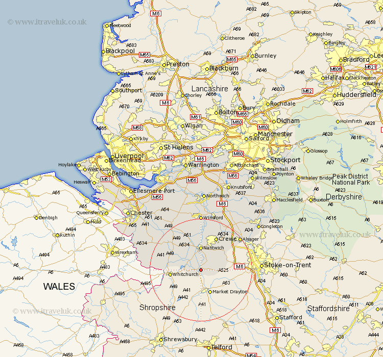
Cheshire Map Showing Location of Audlem
Population: 1739
Area Size (ha): 59
District: Crewe and Nantwich
Easting: 365316 Northing: 343043
Latitude: 52.98 Longitude: -2.52
 = Audlem
Area Size (ha): 59
District: Crewe and Nantwich
Easting: 365316 Northing: 343043
Latitude: 52.98 Longitude: -2.52
= Audlem
This Audlem map below is supplied by Google. Use the tools in the top left corner to zoom into street level or zoom out for a road map, you may also need to zoom in to see Audlem on the map. Click and drag the map to move around. If the map fails to load try and refresh your browser or zoom in or out (+ or -).
Update - it seems Google no longer allow people to use their maps for free! This Audlem map sometimes loads and sometimes gives a error. I am working on a solution.
Closest 30 Towns or Cities to Audlem (Population over 500)
Wrenbury 6.7km Wrenbury cum Frith 6.7km Wybunbury 7.13km Nantwich 9.27km Willaston 9.54km Wistaston 11.61km Crewe 14.12km Malpas 17.14km Bunbury 17.3km Harthill 19.16km Alsager 19.45km Sandbach 19.46km Tarporley 21.07km Tilston 21.39km Rode Heath 21.52km Winsford 22.24km Tattenhall 22.34km Little Budworth 22.93km Middlewick 22.93km Middlewich 22.93km Brereton 23.79km Brereton cum Smethwick 23.79km Whitegate 26.05km Holmes Chapel 26.09km Farndon 26.92km Davenham 27.8km Delamere 27.82km Waverton 27.82km Hartford 27.89km Congleton 28.13km