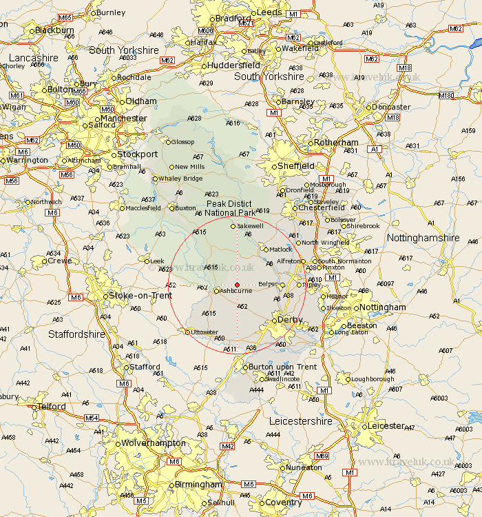
Derbyshire Map Showing Location of Atlow
Population: 98
District: Derbyshire Dales
Easting: 423468 Northing: 348537
Latitude: 53.03 Longitude: -1.65
 = Atlow
District: Derbyshire Dales
Easting: 423468 Northing: 348537
Latitude: 53.03 Longitude: -1.65
= Atlow
This Atlow map below is supplied by Google. Use the tools in the top left corner to zoom into street level or zoom out for a road map, you may also need to zoom in to see Atlow on the map. Click and drag the map to move around. If the map fails to load try and refresh your browser or zoom in or out (+ or -).
Update - it seems Google no longer allow people to use their maps for free! This Atlow map sometimes loads and sometimes gives a error. I am working on a solution.
Closest 30 Towns or Cities to Atlow (Population over 500)
Brassington 5.56km Ashbourne 5.87km Clifton 7.65km Wirksworth 7.87km Cromford 9.27km Brailsford 9.53km Bonsall 10.29km Matlock Bath 10.68km Winster 11.12km Ambergate Junction Station 11.3km Ambergate 11.3km Belper 12.26km Kirk Langley 12.44km Crich 12.45km Holbrook 12.81km Heage 13.37km Duffield 13.39km Matlock 13.58km Quarndon 13.66km Tansley 14.25km Kilburn 14.96km Kilbourn 14.96km Kilbourne 14.96km Derby 14.98km Youlgreave 15.2km Darley Dale 15.2km Middleton 15.49km Wingfield 15.51km South Wingfield 15.51km Little Eaton 16.28km