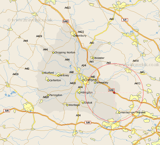
Oxfordshire Map Showing Location of Aston Rowant
Population: 815
District: South Oxfordshire
Easting: 472609 Northing: 197009
Latitude: 51.67 Longitude: -0.95
 = Aston Rowant
District: South Oxfordshire
Easting: 472609 Northing: 197009
Latitude: 51.67 Longitude: -0.95
= Aston Rowant
This Aston Rowant map below is supplied by Google. Use the tools in the top left corner to zoom into street level or zoom out for a road map, you may also need to zoom in to see Aston Rowant on the map. Click and drag the map to move around. If the map fails to load try and refresh your browser or zoom in or out (+ or -).
Update - it seems Google no longer allow people to use their maps for free! This Aston Rowant map sometimes loads and sometimes gives a error. I am working on a solution.
Closest 30 Towns or Cities to Aston Rowant (Population over 500)
Lewknor 1.15km Chinnor 3.91km Tetsworth 5.06km Watlington 5.07km Great Haseley 8.85km Chalgrove 9.38km Thame 9.54km Milton 10.74km Great Milton 10.74km Tiddington 10.93km Ewelme 10.95km Nettlebed 11.36km Benson 12.08km Nuffield 12.52km Stadhampton 12.64km Drayton 12.78km Drayton Saint Leonard 12.78km Drayton St Leonard 12.78km Drayton St. Leonard 12.78km Bix 12.98km Cuddesdon 13.81km Warborough 13.82km Garsington 14.28km Wheatley 14.64km Wallingford 14.67km Rotherfield Peppard 14.88km Henley on Thames 15.23km Henley-on-Thames 15.23km Dorchester 15.4km Harpsden 17.03km