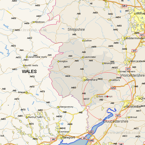
Herefordshire Map Showing Location of Aston Ingham
Easting: 369052 Northing: 224385
Latitude: 51.92 Longitude: -2.45
 = Aston Ingham
Latitude: 51.92 Longitude: -2.45
= Aston Ingham
This Aston Ingham map below is supplied by Google. Use the tools in the top left corner to zoom into street level or zoom out for a road map, you may also need to zoom in to see Aston Ingham on the map. Click and drag the map to move around. If the map fails to load try and refresh your browser or zoom in or out (+ or -).
Update - it seems Google no longer allow people to use their maps for free! This Aston Ingham map sometimes loads and sometimes gives a error. I am working on a solution.
Closest 30 Towns or Cities to Aston Ingham (Population over 500)
Lea 3.9km Weston 5.71km Weston under Penyard 5.71km Weston-under-Penyard 5.71km Upton Bishop 5.88km Ross 8km Ross-on-wye 8km Ross on Wye 8km Much Marcle 9.88km Walford 10.94km Goodrich 12.72km Fownhope 13.84km Ledbury 15km Whitchurch 15.6km Bosbury 18.53km Colwall 19.08km Much Birch 19.11km Mordiford 19.42km Cradley 20.8km Broad Oak 20.92km Lugwardine 21.58km Much Dewchurch 21.85km Bullingham 22.4km Hereford 23.52km Withington 23.94km Allensmore 25.4km Sutton 25.89km Moreton-on-Lugg 28.13km Moreton on Lugg 28.13km Moreton 28.13km