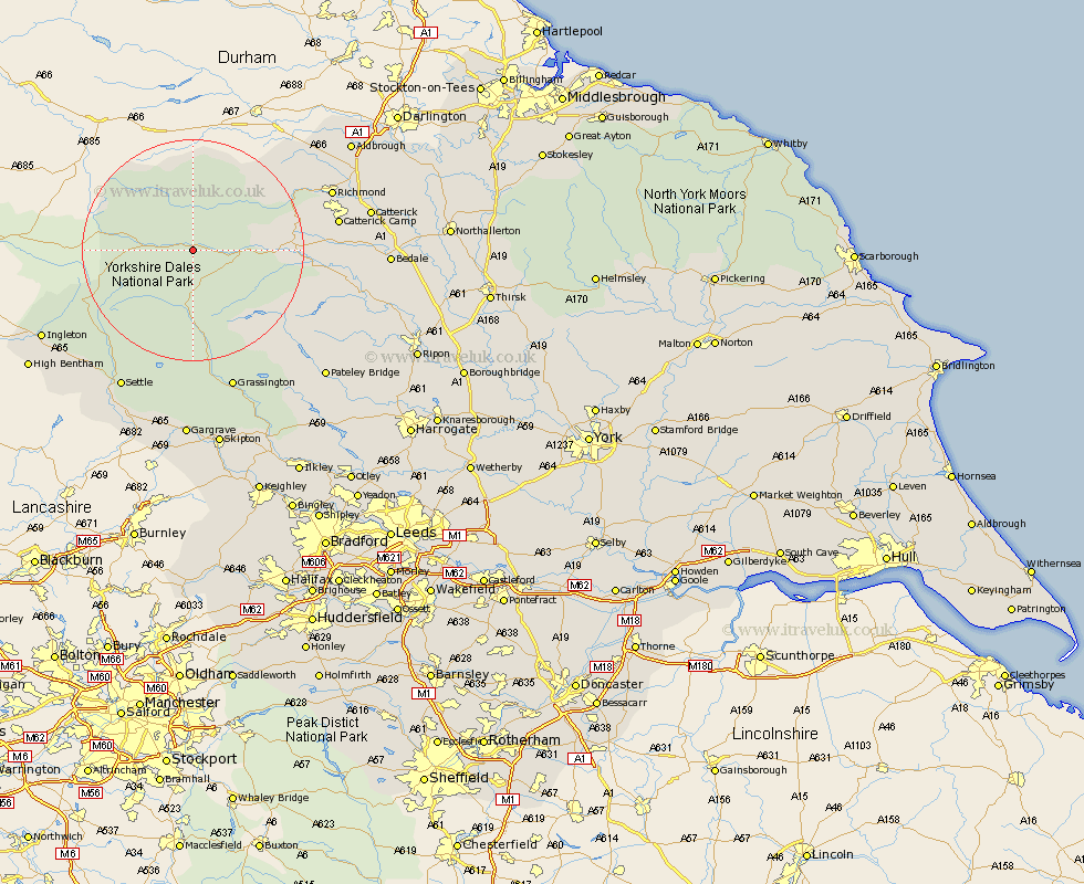
Yorkshire Map Showing Location of Askrigg
Population: 411
District: Richmondshire
Easting: 394577 Northing: 489396
Latitude: 54.3 Longitude: -2.08
 = Askrigg
District: Richmondshire
Easting: 394577 Northing: 489396
Latitude: 54.3 Longitude: -2.08
= Askrigg
This Askrigg map below is supplied by Google. Use the tools in the top left corner to zoom into street level or zoom out for a road map, you may also need to zoom in to see Askrigg on the map. Click and drag the map to move around. If the map fails to load try and refresh your browser or zoom in or out (+ or -).
Update - it seems Google no longer allow people to use their maps for free! This Askrigg map sometimes loads and sometimes gives a error. I am working on a solution.
Closest 30 Towns or Cities to Askrigg (Population over 500)
Hawes 7.57km Bradley 11.97km Leyburn 17.3km Middleham 17.41km Richmond 25.26km Grassington 26.75km Gilling 28km Threshfield 28.13km Settle 28.55km Clapham 29.59km Masham 29.63km Ingleton 29.99km Catterick 30.1km Giggleswick 30.25km Crakehall 30.28km Grewelthorpe 31km Bewerley 31.7km Kirkby Malzeard 31.83km Bedale 32.5km Middleton Tyas 32.65km Scorton 32.67km Melsonby 32.96km Barton 33.63km Burton in Lonsdale 34.64km High Bentham 35.06km Bentham 35.06km Long Preston 35.08km Gargrave 35.23km West Tanfield 35.36km Tanfield 35.36km