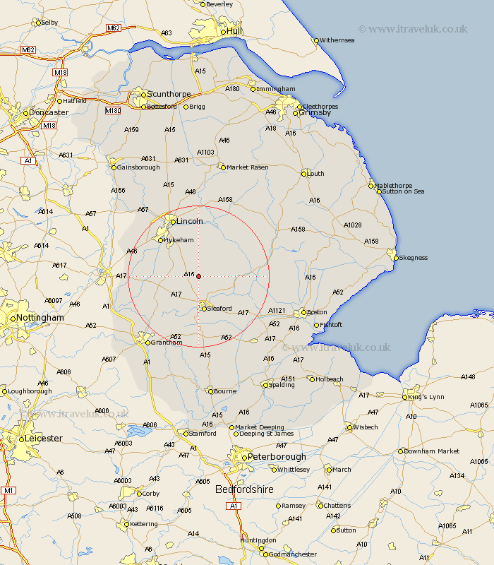
Lincolnshire Map Showing Location of Ashby De La Launde
District: North Kesteven
Easting: 504923 Northing: 355189
Latitude: 53.08 Longitude: -0.43
 = Ashby De La Launde
Easting: 504923 Northing: 355189
Latitude: 53.08 Longitude: -0.43
= Ashby De La Launde
This Ashby De La Launde map below is supplied by Google. Use the tools in the top left corner to zoom into street level or zoom out for a road map, you may also need to zoom in to see Ashby De La Launde on the map. Click and drag the map to move around. If the map fails to load try and refresh your browser or zoom in or out (+ or -).
Update - it seems Google no longer allow people to use their maps for free! This Ashby De La Launde map sometimes loads and sometimes gives a error. I am working on a solution.
Closest 30 Towns or Cities to Ashby De La Launde (Population over 500)
Bloxholme 1.11km Bloxholm 1.11km Scopwick 2.9km Brauncewell 3.7km Digby 4.45km Navenby 5.87km Metheringham 5.99km Cranwell 5.99km Ruskington 6.49km Buskington 6.49km Wellingore 6.93km Leasingham 7.49km Heasingham 7.49km Martin 7.64km Dunston 7.74km Welbourn 8.01km Nocton 9.34km Billinghay 10.02km Sleaford 10.13km Potter Hanworth 11.17km Branston 11.34km Waddington 11.42km Fulbeck 11.46km Heighington 13.17km Caythorpe 13.38km Bassingham 13.86km Aubourn 14.31km Ancaster 14.59km Hykeham 14.96km North Hykeham 14.96km