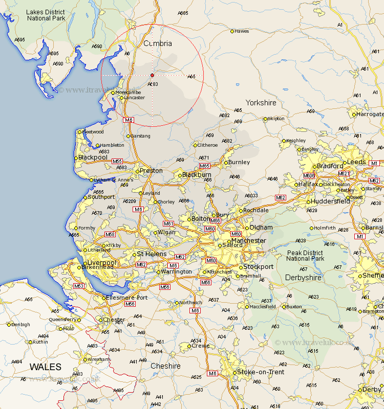
Lancashire Map Showing Location of Arkholme
District: Lancaster
Easting: 358622 Northing: 471032
Latitude: 54.13 Longitude: -2.63
 = Arkholme
Easting: 358622 Northing: 471032
Latitude: 54.13 Longitude: -2.63
= Arkholme
This Arkholme map below is supplied by Google. Use the tools in the top left corner to zoom into street level or zoom out for a road map, you may also need to zoom in to see Arkholme on the map. Click and drag the map to move around. If the map fails to load try and refresh your browser or zoom in or out (+ or -).
Update - it seems Google no longer allow people to use their maps for free! This Arkholme map sometimes loads and sometimes gives a error. I am working on a solution.
Closest 30 Towns or Cities to Arkholme (Population over 500)
Over Kellet 6.77km Nether Kellet 8.46km Warton 8.69km Carnforth 8.88km Caton 9.19km Bolton le Sands 11.25km Silverdale 12.5km Lancaster 14.68km Morecombe 15.95km Morecambe 15.95km Overton 20.48km Middleton 22.04km Forton 22.61km Cockerham 23.64km Garstang 27.36km Chipping 27.99km Pilling 28.93km Claughton-on-Brock 30.14km Claughton 30.14km Claughton on Brock 30.14km Catterall 30.9km Waddington 31.2km Grindleton 31.25km Preesall 32.47km Gisburn 32.68km Clitheroe 33.34km Chatburn 33.4km Longridge 33.52km Eccleston 35km Great Eccleston 35km