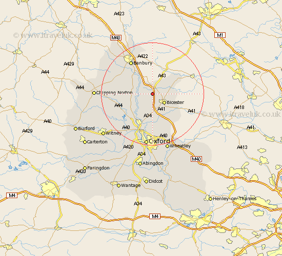
Oxfordshire Map Showing Location of Ardley
Population: 666
District: Cherwell
Easting: 453850 Northing: 226425
Latitude: 51.93 Longitude: -1.22
 = Ardley
District: Cherwell
Easting: 453850 Northing: 226425
Latitude: 51.93 Longitude: -1.22
= Ardley
This Ardley map below is supplied by Google. Use the tools in the top left corner to zoom into street level or zoom out for a road map, you may also need to zoom in to see Ardley on the map. Click and drag the map to move around. If the map fails to load try and refresh your browser or zoom in or out (+ or -).
Update - it seems Google no longer allow people to use their maps for free! This Ardley map sometimes loads and sometimes gives a error. I am working on a solution.
Closest 30 Towns or Cities to Ardley (Population over 500)
Fritwell 2.18km Upper Heyford 3.43km Caversfield 3.43km Bicester 5.88km Steeple Aston 6km Chesterton 6.01km Fringford 7.1km Duns Tew 8km Kirtlington 8.16km Deddington 8.82km Launton 8.83km Bletchingdon 9.88km Tackley 10.1km Adderbury 10.1km Ambrosden 11.53km Woodstock 11.53km Barford 11.69km Barford Saint John 11.69km Barford St. John 11.69km Barford St John 11.69km Bloxham 12.67km Islip 13.02km Kidlington 13.75km Banbury 15.24km Bladon 15.87km Yarnton 15.89km Enstone 16.11km Beckley 16.84km Stonesfield 18.57km Charlbury 18.68km