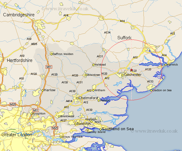
Essex Map Showing Location of Ardleigh
Population: 2081
District: Tendring
Easting: 605145 Northing: 228495
Latitude: 51.92 Longitude: 0.98
 = Ardleigh
District: Tendring
Easting: 605145 Northing: 228495
Latitude: 51.92 Longitude: 0.98
= Ardleigh
This Ardleigh map below is supplied by Google. Use the tools in the top left corner to zoom into street level or zoom out for a road map, you may also need to zoom in to see Ardleigh on the map. Click and drag the map to move around. If the map fails to load try and refresh your browser or zoom in or out (+ or -).
Update - it seems Google no longer allow people to use their maps for free! This Ardleigh map sometimes loads and sometimes gives a error. I am working on a solution.
Closest 30 Towns or Cities to Ardleigh (Population over 500)
Dedham 3.7km Lawford 3.89km Great Bromley 5.06km Boxted 5.88km Colchester 6.82km Mistley 7.1km Alresford 7.42km Wyvenhoe 7.5km Wivenhoe 7.5km Winehoe 7.5km Rowhedge 7.76km Thorrington 8.17km Horkesley 8.21km Great Horkesley 8.21km Bradfield 9.33km Great Bentley 9.37km Fingringhoe 9.89km West Bergholt 10.29km Wix 11.58km Weeley 11.78km Peldon 12.51km Fordham 12.57km Layer de la Haye 13.03km Brightlingsea 13.42km Copford 14.61km Thorpe le Soken 14.61km St Osyth 14.68km Saint Osyth 14.68km St. Osyth 14.68km Birch 14.73km