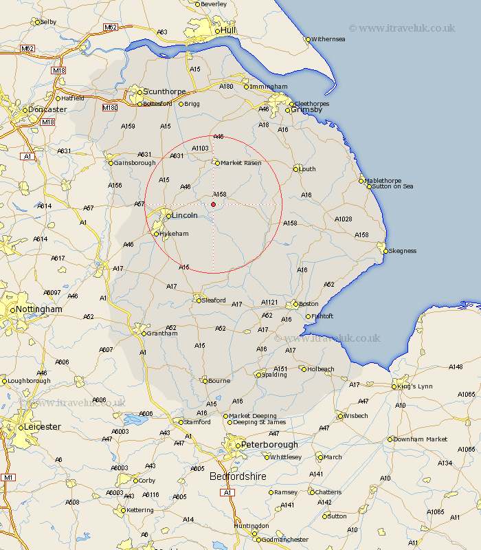
Lincolnshire Map Showing Location of Apley
Population: 80
District: West Lindsey
Easting: 510033 Northing: 375712
Latitude: 53.27 Longitude: -0.35
 = Apley
District: West Lindsey
Easting: 510033 Northing: 375712
Latitude: 53.27 Longitude: -0.35
= Apley
This Apley map below is supplied by Google. Use the tools in the top left corner to zoom into street level or zoom out for a road map, you may also need to zoom in to see Apley on the map. Click and drag the map to move around. If the map fails to load try and refresh your browser or zoom in or out (+ or -).
Update - it seems Google no longer allow people to use their maps for free! This Apley map sometimes loads and sometimes gives a error. I am working on a solution.
Closest 30 Towns or Cities to Apley (Population over 500)
Wragby 3.8km Holton 3.87km Bardney 5.99km Cherry Willingham 6.24km Sudbrooke 6.65km Reepham 6.67km Fiskerton 6.67km Scothern 6.9km Dunholme 8.59km Dunholm 8.59km Nettleham 8.87km Washingborough 9.55km Welton 9.61km Potter Hanworth 10.28km Heighington 10.74km Nocton 11.97km Branston 12.1km Lincoln 12.75km Middle Rasen 13.01km Market Rasen 13.01km Dunston 13.4km Scampton 14.87km Scrampton 14.87km Metheringham 15.2km Woodhall Spa 15.72km Waddington 16.51km Martin 16.72km Ingham 17.18km Horncastle 17.21km Banovallum 17.21km