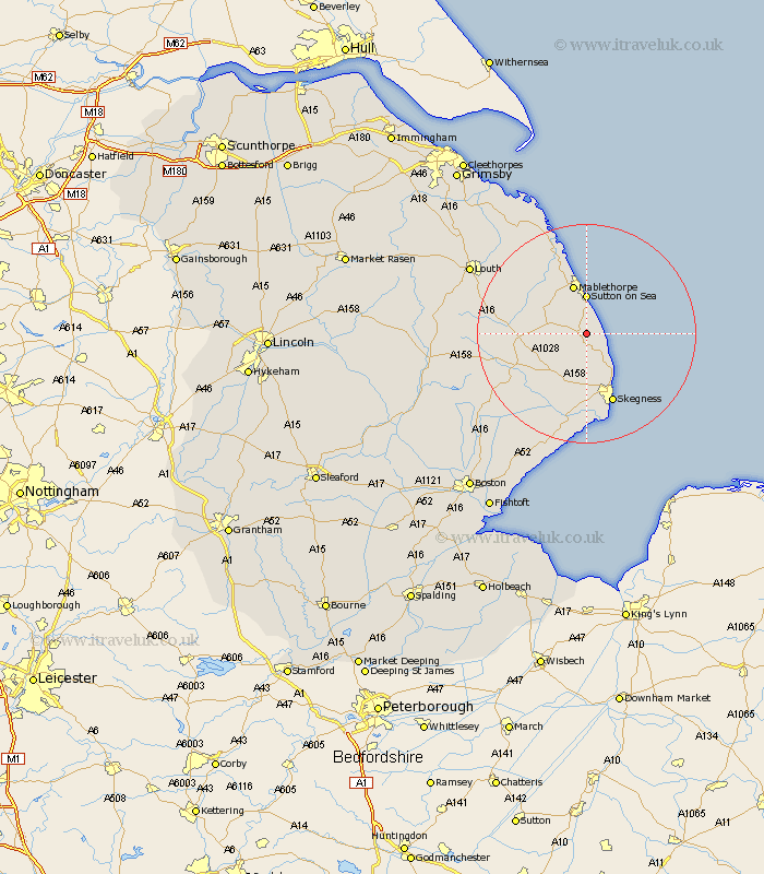
Lincolnshire Map Showing Location of Anderby
Population: 335
District: East Lindsey
Easting: 552322 Northing: 375017
Latitude: 53.25 Longitude: 0.28
 = Anderby
District: East Lindsey
Easting: 552322 Northing: 375017
Latitude: 53.25 Longitude: 0.28
= Anderby
This Anderby map below is supplied by Google. Use the tools in the top left corner to zoom into street level or zoom out for a road map, you may also need to zoom in to see Anderby on the map. Click and drag the map to move around. If the map fails to load try and refresh your browser or zoom in or out (+ or -).
Update - it seems Google no longer allow people to use their maps for free! This Anderby map sometimes loads and sometimes gives a error. I am working on a solution.
Closest 30 Towns or Cities to Anderby (Population over 500)
Huttoft 1.11km Chapel St Leonards 4.32km Chapel St. Leonards 4.32km Chapel Saint Leonards 4.32km Alford 6.65km Willoughby 6.67km Sutton-on-Sea 7.42km Sutton on Sea 7.42km Ingoldmells 8.13km Mablethorpe 9.52km Burgh le Marsh 11.34km Croft 13.16km Skegness 13.72km Spilsby 14.28km Wainfleet All Saints 16.83km Wainfleet 16.83km Manby 17.8km Saltfleetby St Clement 17.95km Saltfleetby St. Clement 17.95km Saltfleetby Saint Clement 17.95km Saltfleetby 17.95km Legbourne 18.06km Grimoldby 18.57km Saltfleet 19.69km Friskney 21.45km North Somercotes 22.22km Louth 23.78km Mareham-on-the-Hill 24.46km Mareham on the Hill 24.46km Mareham 24.46km