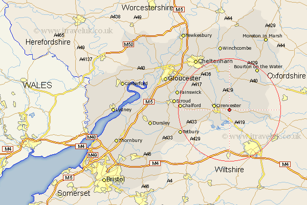
Gloucestershire Map Showing Location of Ampney Crucis
District: Cotswold
Easting: 406907 Northing: 202052
Latitude: 51.72 Longitude: -1.9
 = Ampney Crucis
Easting: 406907 Northing: 202052
Latitude: 51.72 Longitude: -1.9
= Ampney Crucis
This Ampney Crucis map below is supplied by Google. Use the tools in the top left corner to zoom into street level or zoom out for a road map, you may also need to zoom in to see Ampney Crucis on the map. Click and drag the map to move around. If the map fails to load try and refresh your browser or zoom in or out (+ or -).
Update - it seems Google no longer allow people to use their maps for free! This Ampney Crucis map sometimes loads and sometimes gives a error. I am working on a solution.
Closest 30 Towns or Cities to Ampney Crucis (Population over 500)
Ampney St. Peter 2.18km Ampney St Peter 2.18km Ampney Saint Peter 2.18km Ampney 2.18km Siddington 5.07km South Cerney 5.68km Cerney 5.68km Cirencester 6.03km Cicester 6.03km Bibury 6.83km North Cerney 7.21km Quenington 8.04km Fairford 8.25km Chedworth 9.33km Kempsford 10.74km Withington 13.41km Lechlade 13.91km Northleach 14.18km Andoversford 17.03km Chalford 18.46km Minchinhampton 18.47km Avening 18.75km Bourton on the Water 19.61km Bourton-on-the-Water 19.61km Charlton Kings 20.24km Tetbury 20.59km Painswick 20.86km Leckhampton 20.91km Stroud 20.99km Nailsworth 21.01km