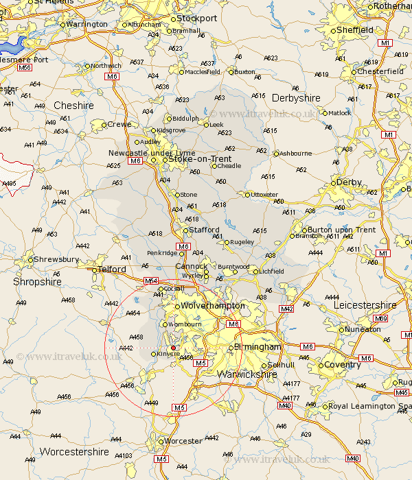
Staffordshire Map Showing Location of Amblecote
District: Dudley
Easting: 389810 Northing: 285469
Latitude: 52.47 Longitude: -2.15
 = Amblecote
Easting: 389810 Northing: 285469
Latitude: 52.47 Longitude: -2.15
= Amblecote
This Amblecote map below is supplied by Google. Use the tools in the top left corner to zoom into street level or zoom out for a road map, you may also need to zoom in to see Amblecote on the map. Click and drag the map to move around. If the map fails to load try and refresh your browser or zoom in or out (+ or -).
Update - it seems Google no longer allow people to use their maps for free! This Amblecote map sometimes loads and sometimes gives a error. I am working on a solution.
Closest 30 Towns or Cities to Amblecote (Population over 500)
Himley 5.56km Dudley 5.84km Kinvere 5.94km Wombourne 7.74km Wombourn 7.74km Bobbington 10.6km Smethwick 10.81km West Bromwich 11.58km Lower Penn 11.62km Bilston 12.47km Wolverhampton 13.01km Seisdon 13.02km Scisdon 13.02km Pattingham 15.18km Wallsall 17.96km Walsall 17.96km Codsall 18.83km Rushall 20.07km Pelsall 21.47km Aldridge 21.65km Shareshill 22.69km Brownhills 23.62km Brewood 24.11km Wyrley 24.27km Great Wyrley 24.27km Cannock 25.72km Norton Canes 27.08km Huntington 27.11km Hammerwich 27.21km Weston 27.46km