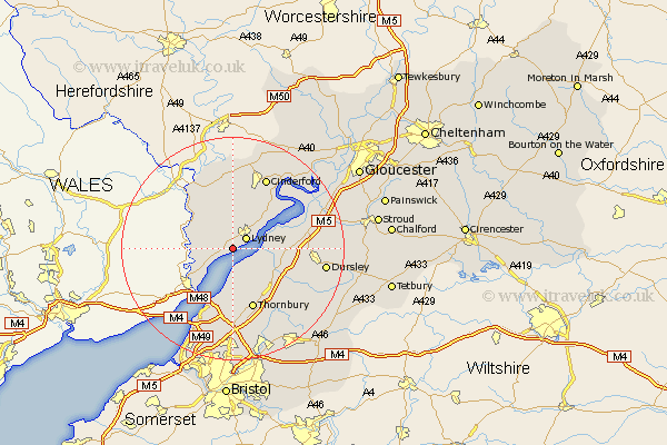
Gloucestershire Map Showing Location of Alvington
Population: 484
District: Forest of Dean
Easting: 360842 Northing: 200342
Latitude: 51.7 Longitude: -2.57
 = Alvington
District: Forest of Dean
Easting: 360842 Northing: 200342
Latitude: 51.7 Longitude: -2.57
= Alvington
This Alvington map below is supplied by Google. Use the tools in the top left corner to zoom into street level or zoom out for a road map, you may also need to zoom in to see Alvington on the map. Click and drag the map to move around. If the map fails to load try and refresh your browser or zoom in or out (+ or -).
Update - it seems Google no longer allow people to use their maps for free! This Alvington map sometimes loads and sometimes gives a error. I am working on a solution.
Closest 30 Towns or Cities to Alvington (Population over 500)
Woolaston 2.3km Lydney 2.95km Bream 5.56km Tidenham 8km Berkeley 8.25km St. Briavels 8.85km Saint Briavels 8.85km St Briavels 8.85km Stone 8.86km Newland 10.9km Falfield 10.94km Coleford 11.35km Alveston 11.35km Aust 11.64km Thornbury 11.64km Awre 11.8km Cromhall 12.27km Tytherington 12.52km Slimbridge 12.77km Olveston 12.98km North Nibley 13.17km Charfield 13.89km Cinderford 14.18km Staunton 14.19km Newham 14.42km Newnham 14.42km Cam 14.93km Frampton-on-Severn 15.64km Frampton on Severn 15.64km Frampton 15.64km