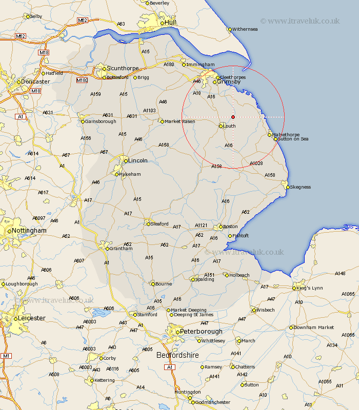
Lincolnshire Map Showing Location of Alvingham
Population: 256
District: East Lindsey
Easting: 536279 Northing: 391228
Latitude: 53.4 Longitude: 0.05
 = Alvingham
District: East Lindsey
Easting: 536279 Northing: 391228
Latitude: 53.4 Longitude: 0.05
= Alvingham
This Alvingham map below is supplied by Google. Use the tools in the top left corner to zoom into street level or zoom out for a road map, you may also need to zoom in to see Alvingham on the map. Click and drag the map to move around. If the map fails to load try and refresh your browser or zoom in or out (+ or -).
Update - it seems Google no longer allow people to use their maps for free! This Alvingham map sometimes loads and sometimes gives a error. I am working on a solution.
Closest 30 Towns or Cities to Alvingham (Population over 500)
Grimoldby 4.31km Manby 4.97km Louth 5.77km Fulstow 7.1km Legbourne 7.42km North Coates 7.5km North Somercotes 7.59km Grainthorpe 7.74km Saltfleetby St. Clement 8.84km Saltfleetby St Clement 8.84km Saltfleetby Saint Clement 8.84km Saltfleetby 8.84km Saltfleet 9.03km North Thoresby 9.94km Tetney 10.26km Holton le Clay 15.1km Mablethorpe 15.2km Humberstone 15.82km Humberston 15.82km binbrook 15.9km Grimsby 16.23km Great Grimsby 16.23km Waltham 16.34km Cleethorpes 17.57km Sutton on Sea 18.04km Sutton-on-Sea 18.04km Alford 18.88km Great Coates 20.53km Laceby 20.62km Huttoft 22.03km