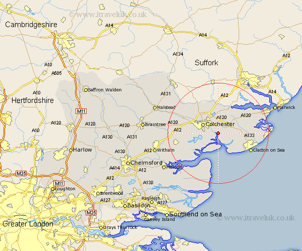
Essex Map Showing Location of Alresford
Population: 2124
Area Size (ha): 58
District: Tendring
Easting: 605449 Northing: 221079
Latitude: 51.85 Longitude: 0.98
 = Alresford
Area Size (ha): 58
District: Tendring
Easting: 605449 Northing: 221079
Latitude: 51.85 Longitude: 0.98
= Alresford
This Alresford map below is supplied by Google. Use the tools in the top left corner to zoom into street level or zoom out for a road map, you may also need to zoom in to see Alresford on the map. Click and drag the map to move around. If the map fails to load try and refresh your browser or zoom in or out (+ or -).
Update - it seems Google no longer allow people to use their maps for free! This Alresford map sometimes loads and sometimes gives a error. I am working on a solution.
Closest 30 Towns or Cities to Alresford (Population over 500)
Winehoe 1.14km Wyvenhoe 1.14km Wivenhoe 1.14km Rowhedge 2.29km Thorrington 3.43km Fingringhoe 3.9km Great Bromley 5.05km Great Bentley 5.72km Brightlingsea 6.54km Colchester 6.82km Peldon 6.82km Ardleigh 7.42km Saint Osyth 8.84km St. Osyth 8.84km St Osyth 8.84km Weeley 9.16km Layer de la Haye 9.35km Lawford 9.88km West Mersea 10.89km Little Clacton 10.95km Dedham 11.12km Mistley 11.53km Birch 11.6km Boxted 12.02km Horkesley 12.24km Great Horkesley 12.24km Copford 12.59km Thorpe le Soken 12.59km West Bergholt 12.69km Wix 12.72km