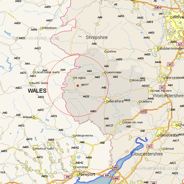
Herefordshire Map Showing Location of Almeley
Population: 579
Easting: 332727 Northing: 250691
Latitude: 52.15 Longitude: -2.98
 = Almeley
Easting: 332727 Northing: 250691
Latitude: 52.15 Longitude: -2.98
= Almeley
This Almeley map below is supplied by Google. Use the tools in the top left corner to zoom into street level or zoom out for a road map, you may also need to zoom in to see Almeley on the map. Click and drag the map to move around. If the map fails to load try and refresh your browser or zoom in or out (+ or -).
Update - it seems Google no longer allow people to use their maps for free! This Almeley map sometimes loads and sometimes gives a error. I am working on a solution.
Closest 30 Towns or Cities to Almeley (Population over 500)
Eardisley 2.18km Lyonshall 5.56km Kington 6.01km Weobley 8.17km Dilwyn 8.78km Pembridge 9.34km Clifford 9.71km Eardisland 11.73km Peterchurch 13.17km Shobdon 13.67km Credenhill 13.69km Burghill 15.8km Madley 15.85km Wellington 16.03km Kingsland 16.73km Moreton-on-Lugg 17.95km Moreton on Lugg 17.95km Moreton 17.95km Kingstone 18.02km Croft 19.38km Leominster 19.4km Allensmore 20.16km Bodenham 20.47km Luston 20.52km Wigmore 20.64km Sutton 21.22km Hereford 21.34km Bullingham 22.37km Orleton 23.04km Ewyas Harold 23.27km