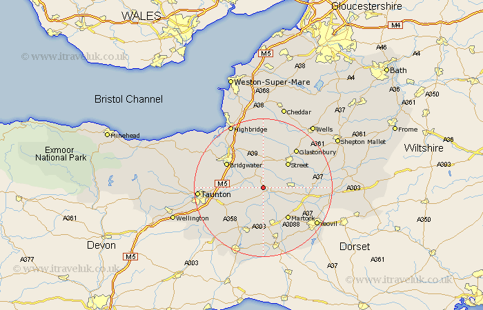
Somerset Map Showing Location of Aller
Population: 351
District: South Somerset
Easting: 340426 Northing: 128253
Latitude: 51.05 Longitude: -2.85
 = Aller
District: South Somerset
Easting: 340426 Northing: 128253
Latitude: 51.05 Longitude: -2.85
= Aller
This Aller map below is supplied by Google. Use the tools in the top left corner to zoom into street level or zoom out for a road map, you may also need to zoom in to see Aller on the map. Click and drag the map to move around. If the map fails to load try and refresh your browser or zoom in or out (+ or -).
Update - it seems Google no longer allow people to use their maps for free! This Aller map sometimes loads and sometimes gives a error. I am working on a solution.
Closest 30 Towns or Cities to Aller (Population over 500)
Langport 2.19km High Ham 2.98km Othery 4.37km Curry Rivel 4.38km Stoke Saint Gregory 6.11km Stoke St. Gregory 6.11km Stoke St Gregory 6.11km Middlezoy 6.57km Long Sutton 6.9km Somerton 6.99km Fivehead 7.26km Kingsbury Episcopi 8.2km Kingsbury 8.2km North Curry 8.96km Shapwick 9.34km Walton 9.43km Weston Zoyland 9.43km Ashcott 9.9km Street 10.19km Compton 10.85km Martock 11.61km South Petherton 11.66km Cossington 12.05km Ilton 12.06km Creech Saint Michael 12.23km Creech St Michael 12.23km Creech St. Michael 12.23km Bridgwater 12.84km Bridgewater 12.84km Hatch Beauchamp 12.85km