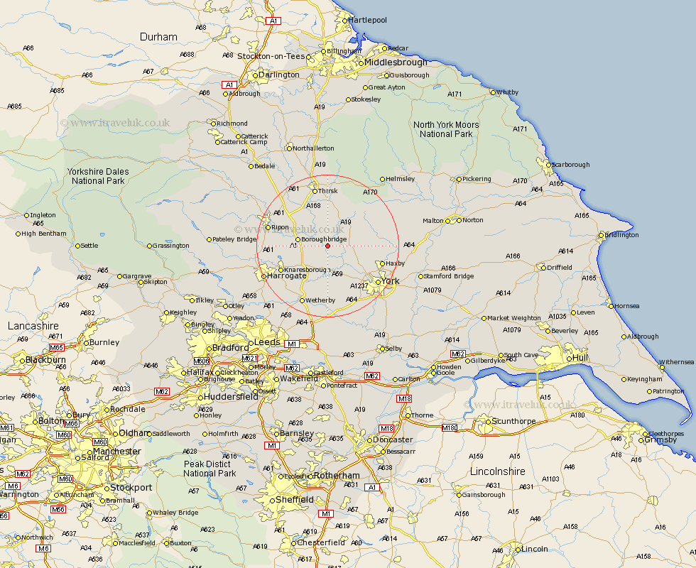
Yorkshire Map Showing Location of Aldlwark
Population: 116
District: Hambleton
Easting: 446897 Northing: 463675
Latitude: 54.07 Longitude: -1.28
 = Aldlwark
District: Hambleton
Easting: 446897 Northing: 463675
Latitude: 54.07 Longitude: -1.28
= Aldlwark
This Aldlwark map below is supplied by Google. Use the tools in the top left corner to zoom into street level or zoom out for a road map, you may also need to zoom in to see Aldlwark on the map. Click and drag the map to move around. If the map fails to load try and refresh your browser or zoom in or out (+ or -).
Update - it seems Google no longer allow people to use their maps for free! This Aldlwark map sometimes loads and sometimes gives a error. I am working on a solution.
Closest 30 Towns or Cities to Aldlwark (Population over 500)
Ouseburn 2.86km Great Ouseburn 2.86km Alne 3.75km Linton-on-Ouse 4.3km Linton 4.3km Linton upon Ouse 4.3km Linton on Ouse 4.3km Tollerton 4.35km Marton le Moor 5.44km Marton 5.44km Newton upon Ouse 5.72km Newton 5.72km Whixley 5.97km Green Hammerton 7.5km Raskelf 7.72km Easingwold 7.77km Boroughbridge 7.83km Hammerton 9.34km Kirk Hammerton 9.34km Shipton 9.46km Huby 9.96km Stillington 11.48km Skelton 12.29km Dishforth 12.7km Long Marston 13.38km Rufforth 14.07km Knaresborough 14.08km Poppleton 14.12km Upper Poppleton 14.12km Burton Leonard 14.14km