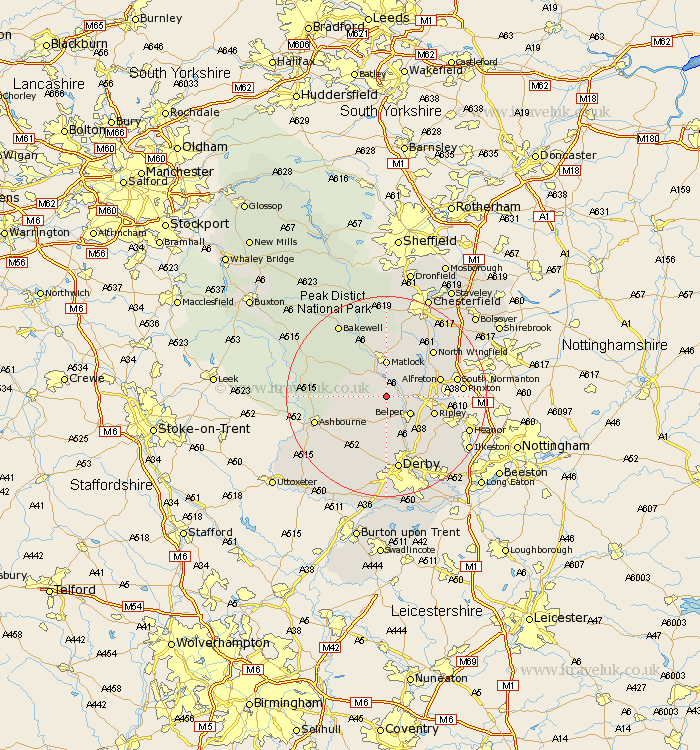
Derbyshire Map Showing Location of Alderwasley
Population: 442
District: Amber Valley
Easting: 431267 Northing: 352297
Latitude: 53.07 Longitude: -1.53
 = Alderwasley
District: Amber Valley
Easting: 431267 Northing: 352297
Latitude: 53.07 Longitude: -1.53
= Alderwasley
This Alderwasley map below is supplied by Google. Use the tools in the top left corner to zoom into street level or zoom out for a road map, you may also need to zoom in to see Alderwasley on the map. Click and drag the map to move around. If the map fails to load try and refresh your browser or zoom in or out (+ or -).
Update - it seems Google no longer allow people to use their maps for free! This Alderwasley map sometimes loads and sometimes gives a error. I am working on a solution.
Closest 30 Towns or Cities to Alderwasley (Population over 500)
Wirksworth 2.89km Crich 3.82km Ambergate Junction Station 3.82km Ambergate 3.82km Cromford 4.32km Matlock Bath 4.87km Belper 5.8km Bonsall 6.49km Heage 6.69km South Wingfield 6.93km Wingfield 6.93km Matlock 7.41km Tansley 7.49km Brassington 8.01km Holbrook 8.65km Swanwick 8.91km Ripley 9.65km Kilburn 9.99km Kilbourn 9.99km Kilbourne 9.99km Shirland 10.5km Denby 10.5km Alfreton 10.68km Stretton 10.75km Winster 10.75km Ashover 11.61km Duffield 11.61km Codnor 11.74km Darley Dale 11.98km Clay Cross 12.1km